
I always look forward to our days off, especially this past Tuesday, as a relaxing time spent grilling in the Marin Headlands, and taking pictures of wildlife. But then, Nature has a way of playing the occasional dirty trick on you.

I always look forward to our days off, especially this past Tuesday, as a relaxing time spent grilling in the Marin Headlands, and taking pictures of wildlife. But then, Nature has a way of playing the occasional dirty trick on you.
Standing where ocean meets earth, lighthouses hold a certain meaning for anyone I think. My wife loves the architecture and scientific aspects of Fresnel lenses, weather patterns, geology and wildlife. I like to let my imagination play with the same, especially when I picture these places after dark. I’ll give you two guesses at who fixes stuff around the house, like the sink or the toilet.
The lighthouse at Point Bonita holds its charms in a very dramatic and beautiful setting, accessed via a tunnel carved through rock and a narrow bridge over a steep drop.

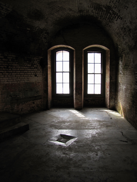
We decided to go out and play again on Friday afternoon. The Marin Headlands are full of coastal batteries. Most were placed as a result of WWII, but some, like Battery Mendell were built before WWI. Old and dilapidated, they are both an eyesore and a thing of beauty. No longer owned by the military, they are now a part of the Golden Gate National Recreation Area (GGNRA).

Continue reading “Coastal Batteries: Mendell, you are there”
I had a few photos that I like because of the perspective. Sadly, one or two have some serious purple fringe from heck, but I can live with it. I just wouldn’t hang them on my wall. Someday, I’ll have a DSLR with some good filters. Before I do that, I need a computer that can handle the memory usage.

![]()
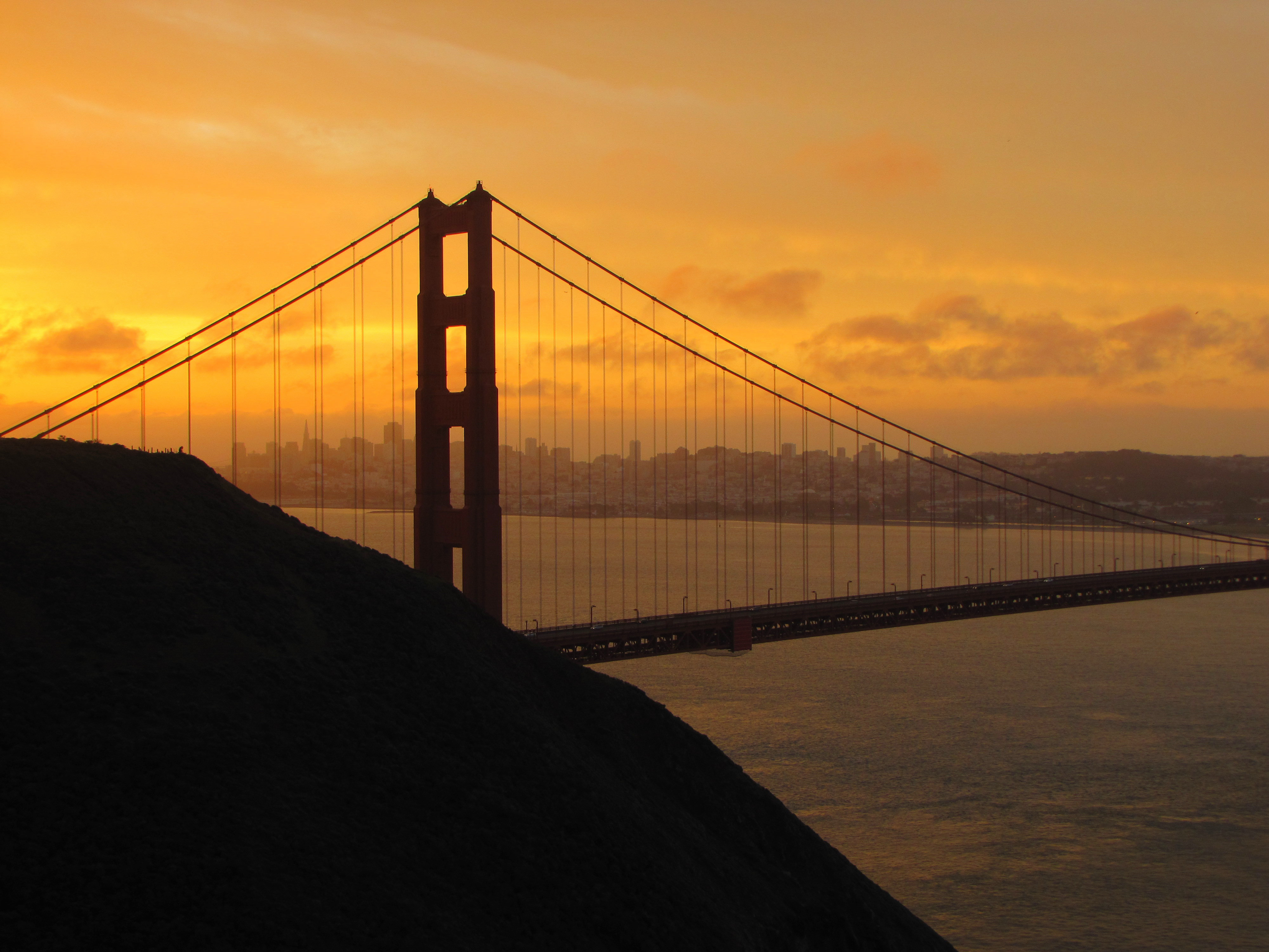
On Saturday, we got to see another glorious sunrise. We love the Marin Headlands as they provide a stunning view of the the Golden Gate, The Golden Gate Bridge, and the San Francisco Bay. For some reason we saw no wildlife with the exception of birds. It was odd as we usually see dozens of black tailed deer, not to mention the squirrels and bunnies playing murder ball in the road.
Still, the Golden Gate Bridge and the San Francisco skyline looked beautiful in the morning light.
Even the chert had a pretty red glow that morning.
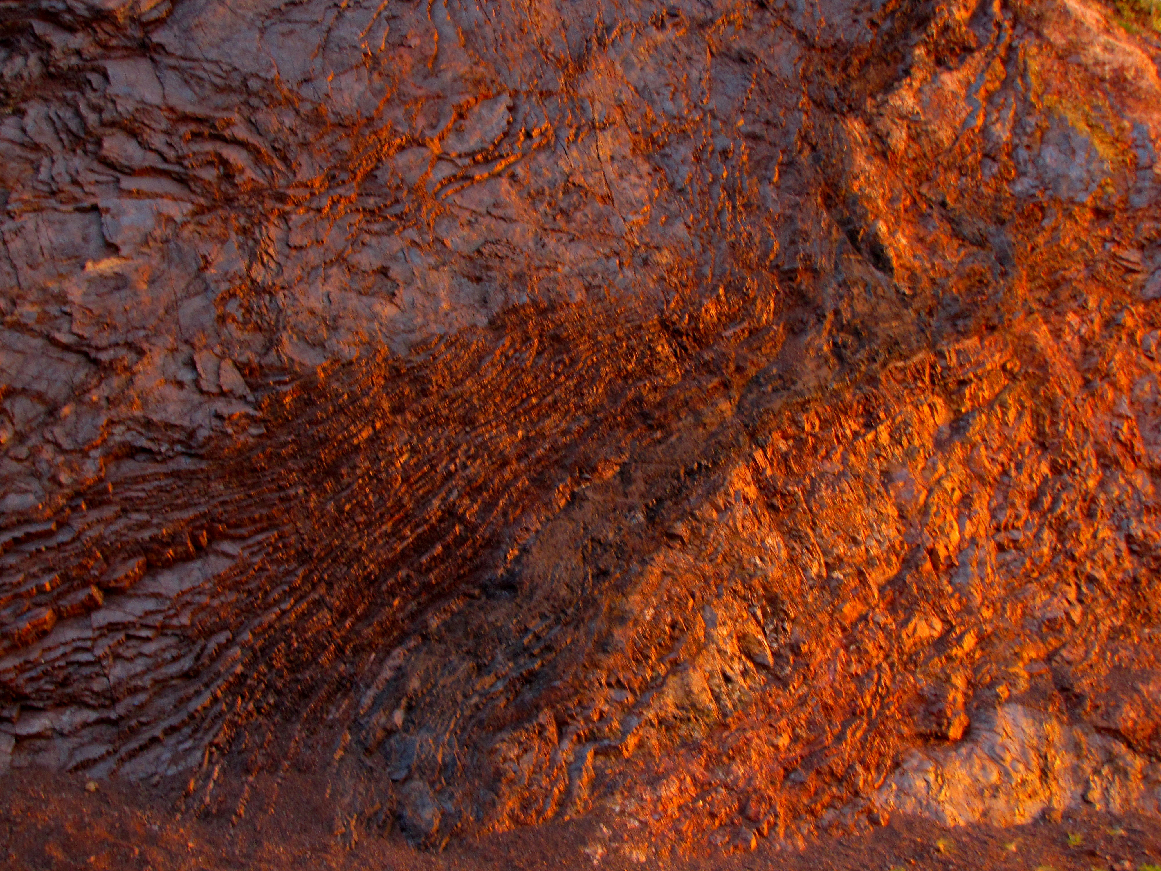
I do wish we had seen more wildlife. Maybe we’ll get lucky next time.

![]()
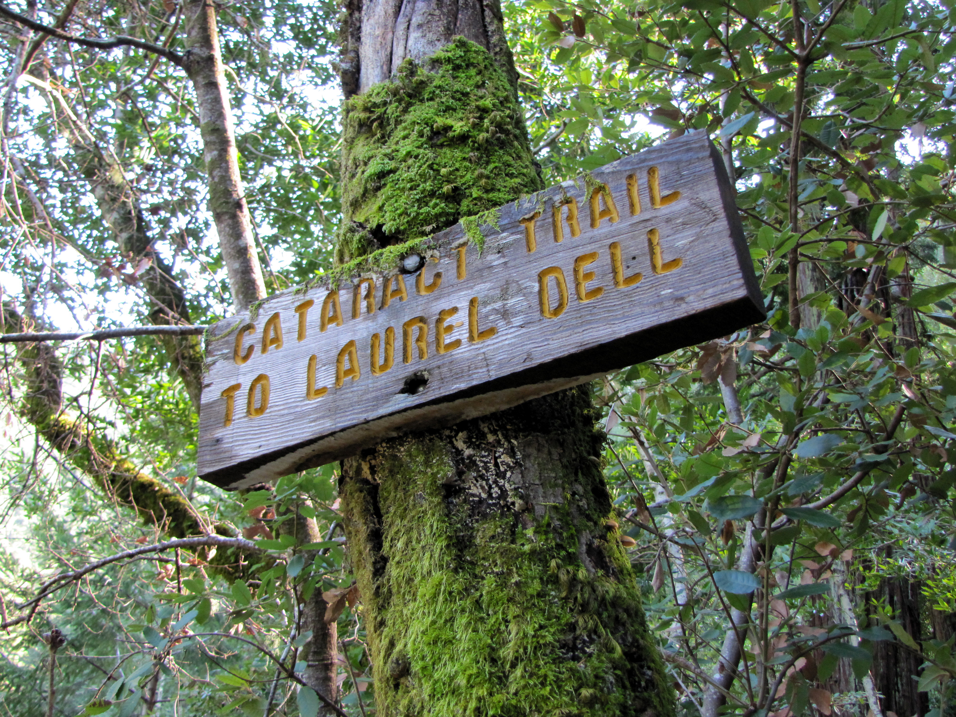
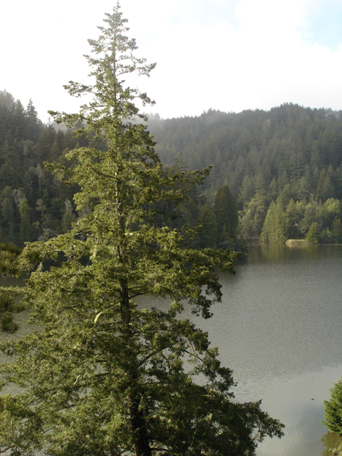
Timing and weather finally permitted us to head back North to Marin County to visit Cataract Falls again. We wrote about our first trip back in October of 2010. They are located on the West end of Alpine Lake on the Northwest slope of Mt. Tamalpais. We weren’t sure if the falls would be flowing or not as we are way behind on our rain for the season. However, we had two good rainfalls just before we went, so we were in luck.
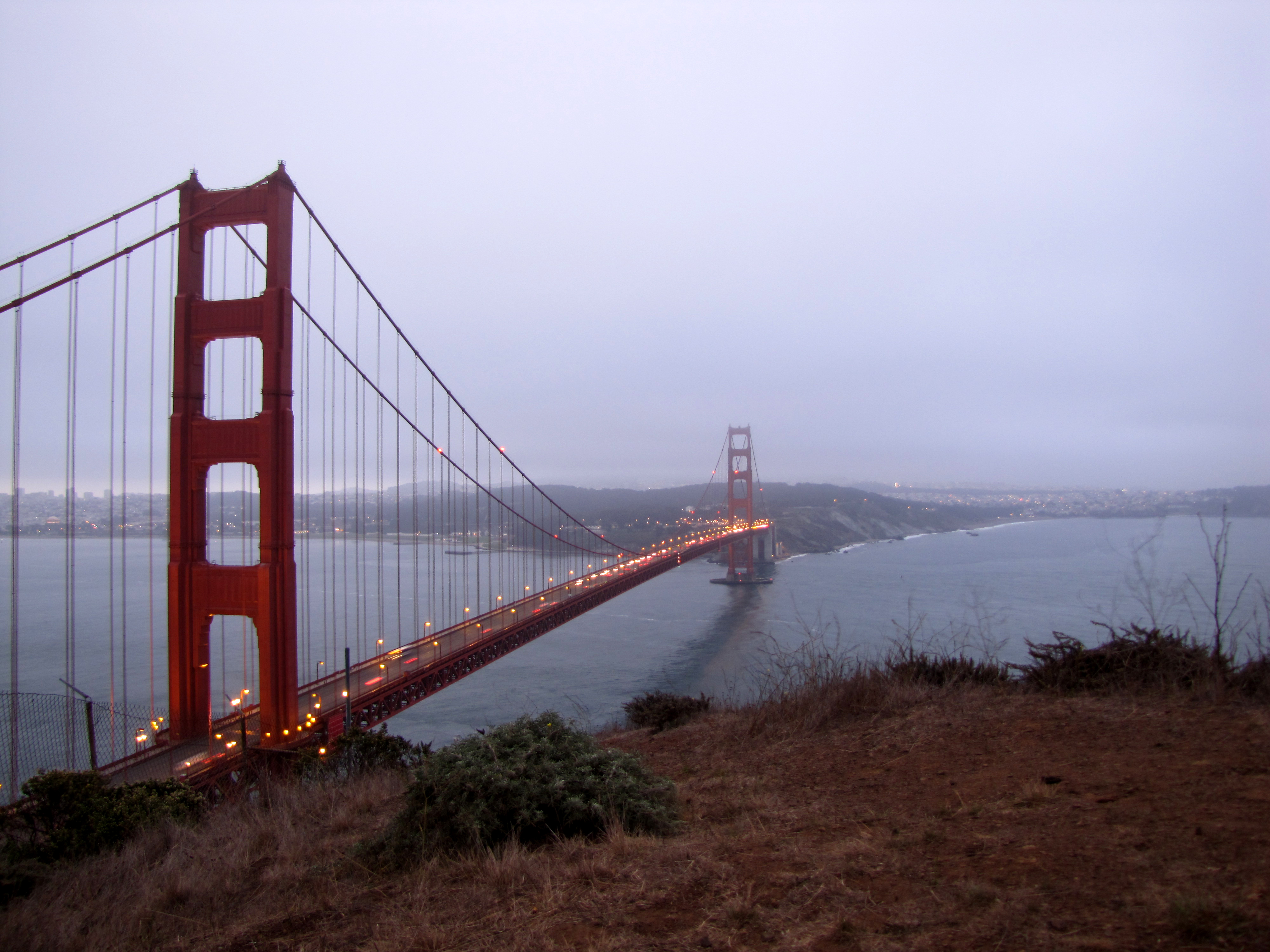
No matter how long I live here in San Francisco, I will never get tired of looking at the Golden Gate Bridge. The view from the Marin Headlands is magnificent and from there, one can see the Golden Gate Bridge and the San Francisco skyline. On the weekends, it’s full of tourists. On the weekdays, at dawn, it’s much more peaceful, with only a few people.
Continue reading “Sunrise at the Golden Gate Bridge and the Marin Headlands”
Cataract Falls are located in the Marin Municipal Water District on the North side of Mt. Tamalpais and not far from the town of Fairfax. It is a seasonal waterfall that flows during the rainy season (Dec. through May). The best time to see the falls are right after a good rain. At other times, it’s just a trickle.
It’s ranked by many as a moderate hike, but as most of it involves stairs, one should be in decent shape. It’s a trail that is well worth the effort. It’s only a 2.7 mile round trip, but has a fair altitude change. The starting elevation is approximately 650 ft. It climbs to about 1100 feet in a half mile and on to about 1400 ft in the next .8 mile.
The trail and stairs can be slippery when wet, so use caution. The only way to remove the injured from the trail is by helicopter. A good trekking pole can help.
To get there:
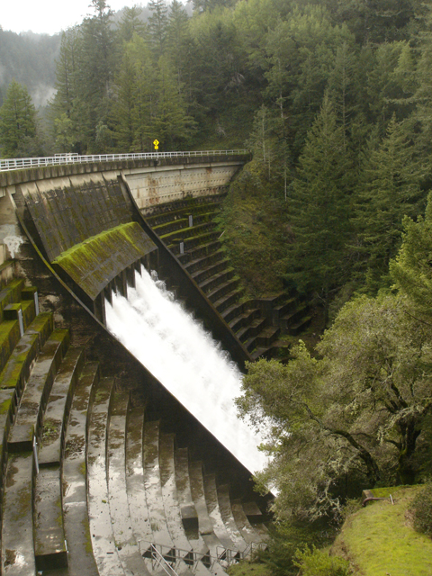
Take Hwy #101 to San Rafael, and take the Sir Francis Drake Blvd. exit. Drive 6 miles to Fairfax, and turn left on Pacheco Rd. (may be unsigned, there is a sign saying “Fairfax” at intersection). Take an immediate right on Broadway, then first left on Bolinas Rd. Drive 7.8 miles to Alpine Lake, and park at the hairpin turn just after crossing the dam. Parking is limited, find a parking spot somewhere off the narrow road. The trail head is on the left at the hairpin turn.
You can also park at the other end of the trail, on West Ridgecrest Blvd. at the Laurel Dell picnic area. From the Mill Valley / Stinson Beach / Hwy #1 exit on Hwy #101 north of San Francisco, drive 1 mile to Shoreline Hwy. Turn left and drive 2.5 miles to Panoramic Hwy. Turn right and drive 5.2 miles to Pantoll Rd. Turn right and drive 1.4 miles to Ridgecrest Rd. Turn left and drive 1.6 miles to a small parking area on right. The trail is marked “Laurel Dell”.
The road is narrow and the day we went, we had to move tree branches out of the road. Also, be sure not to park facing oncoming traffic as tickets may be handed out.
Alpine Lake and the dam are beautiful when the water is flowing.
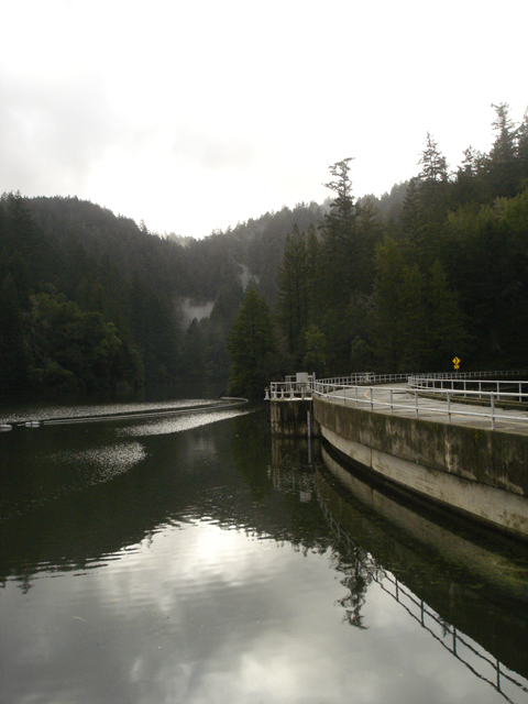
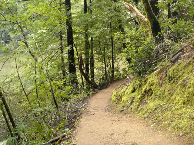
Once parked the trail follows the West side of the lake heading South.
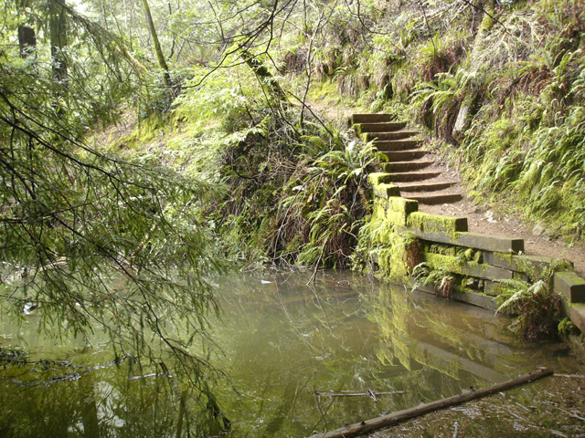
This part of the trail is fairly easy. Don’t be fooled. It doesn’t last long.
Soon, the stairs begin and you start to climb.
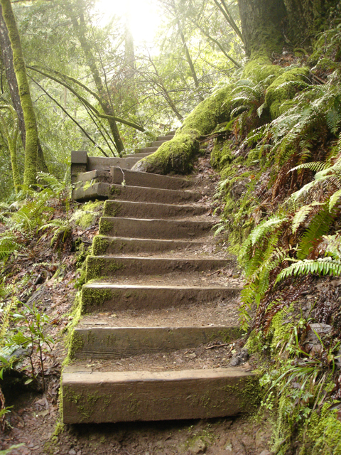
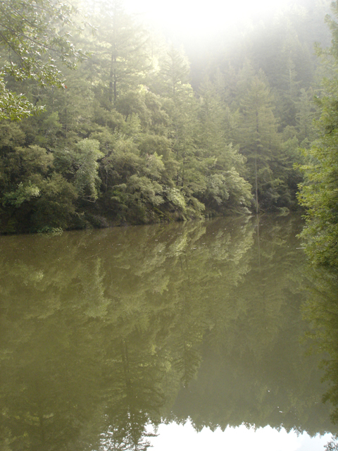
The amount of greenery is incredible and worth the hike.
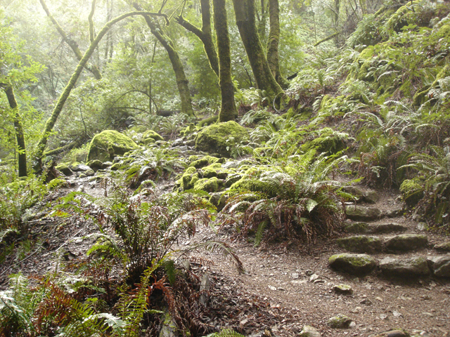
Soon, you begin to see the beginning of the falls. Some are small, others quite tall.
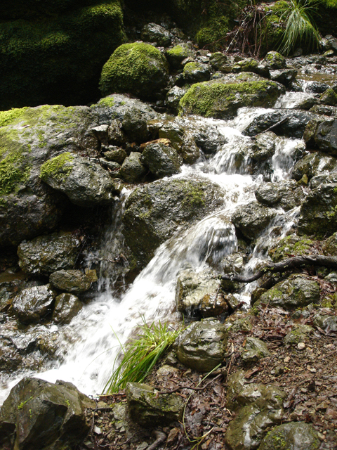
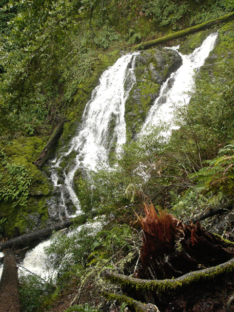
![]()