Point Bonita lighthouse: at land’s end

Standing where ocean meets earth, lighthouses hold a certain meaning for anyone I think. My wife loves the architecture and scientific aspects of Fresnel lenses, weather patterns, geology and wildlife. I like to let my imagination play with the same, especially when I picture these places after dark. I’ll give you two guesses at who fixes stuff around the house, like the sink or the toilet.

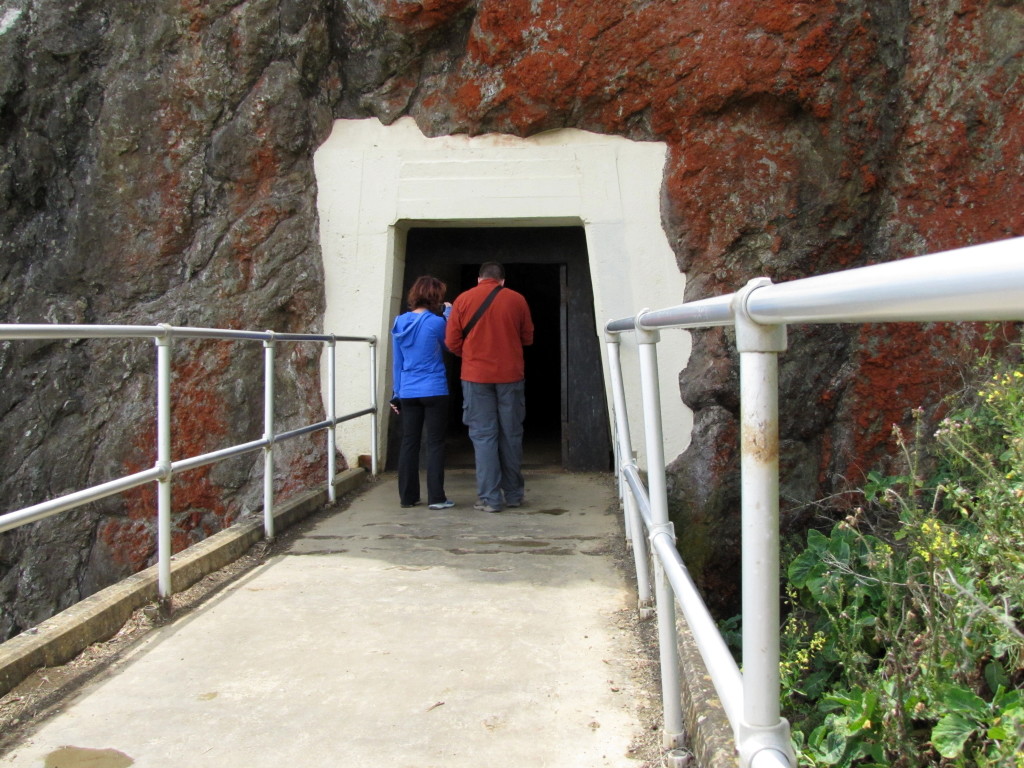
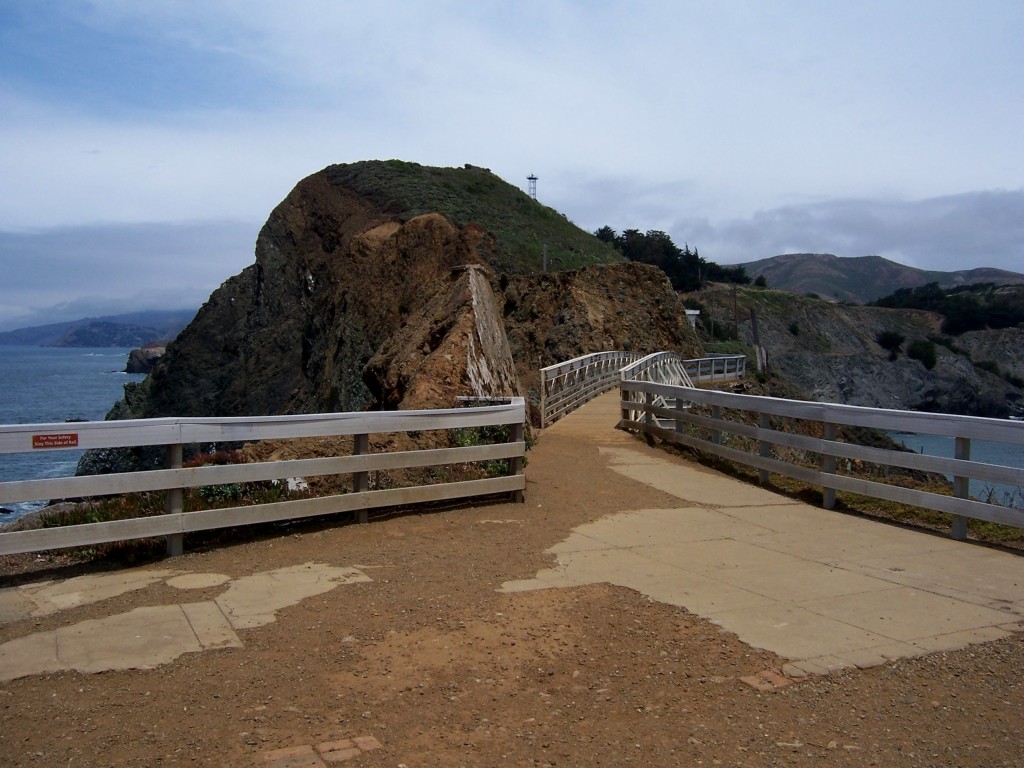
The lighthouse at Point Bonita holds its charms in a very dramatic and beautiful setting, accessed via a tunnel carved through rock and a narrow bridge over a steep drop.
long is the way and hard by Lastech

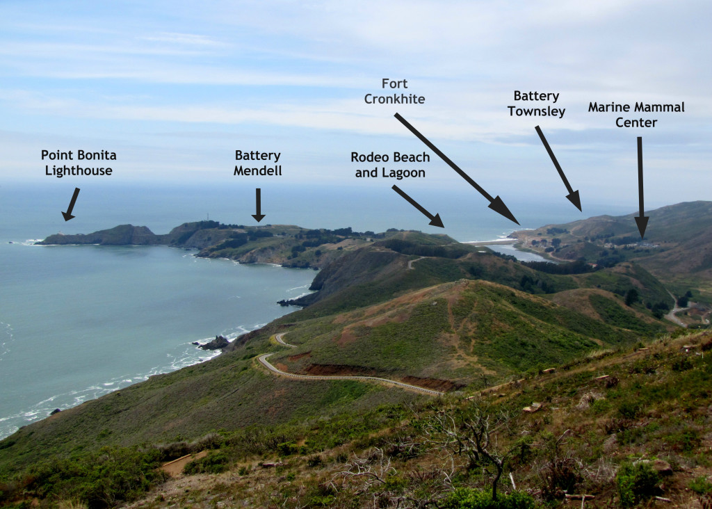
The Marin Headlands by Rudha-an

On a recent Monday, conditions were perfect for our trip: a light cloud cover dissipated slowly by late morning over the coast, making ambient lighting perfect for picture taking and a warm breeze made walking the steep half-mile trail to the Point Bonita lighthouse comfortable.

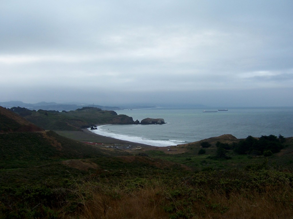
Earlier, as we waited for the tunnel to open, we hiked from Rodeo Beach up to Battery Townsley, circling back to just below the Marine Mammal center. It was early enough that Karl the fog still moved across hilltops at a good clip and kept things cool.
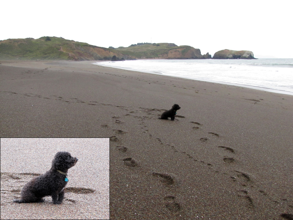
This cute doggie was patiently waiting for their human who was surfing.
This cute doggie was patiently waiting for their human who was surfing. Aside from the dog and us, the beach was empty. Photo by Rudha-an
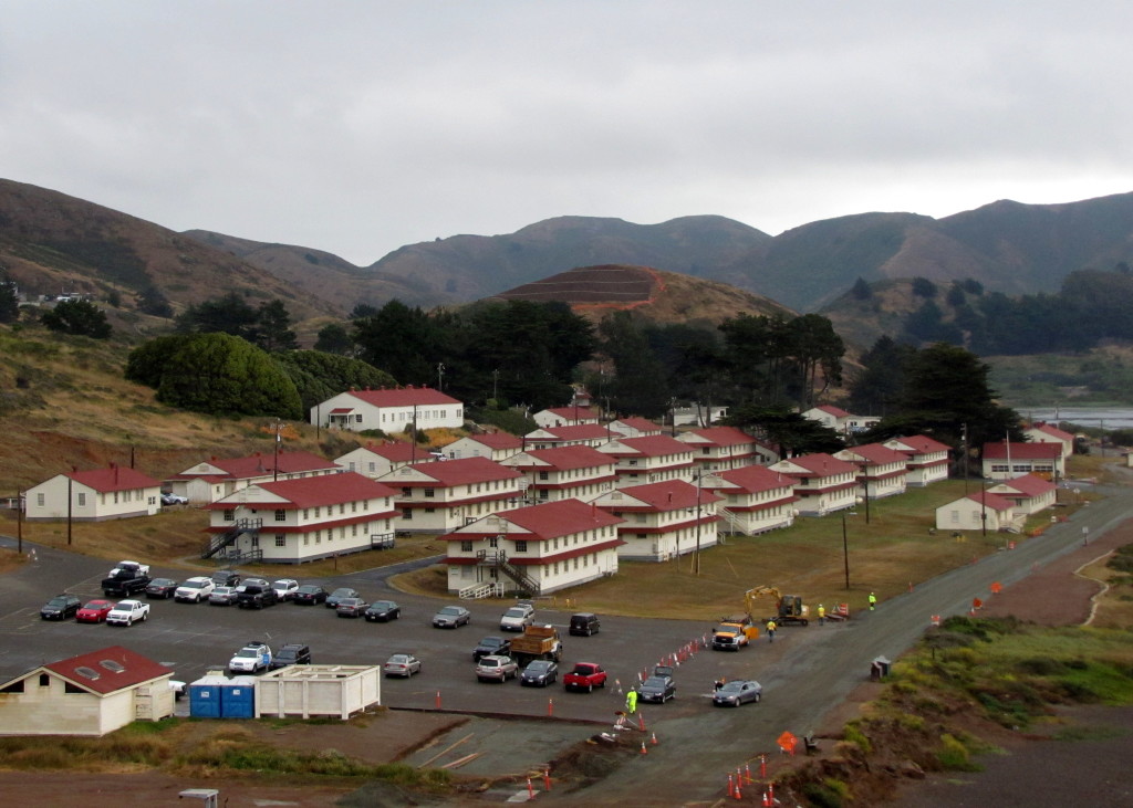
Ft. Cronkhite from the trail to Battery Townsley by Rudha-an
Looking back at Rodeo Beach by Lastech

The only wildlife we encountered this early was a single doe munching on some leaves by the side of the trail. She was unfazed by our presence, and just ambled away after we snapped her picture. I know locals consider them to be pests, but for us City-bound folks, the beasties still evoke Disney-like fantasies of terminal cuteness, provided we don’t get close enough to get kicked or have their swashbuckling ticks jump ship. It got me wondering whether said ticks, crazed on blood, might be attracted by the flash of our cameras like sailors to the beacon from Point Bonita.

Praise Cthulu, we didn’t find out.
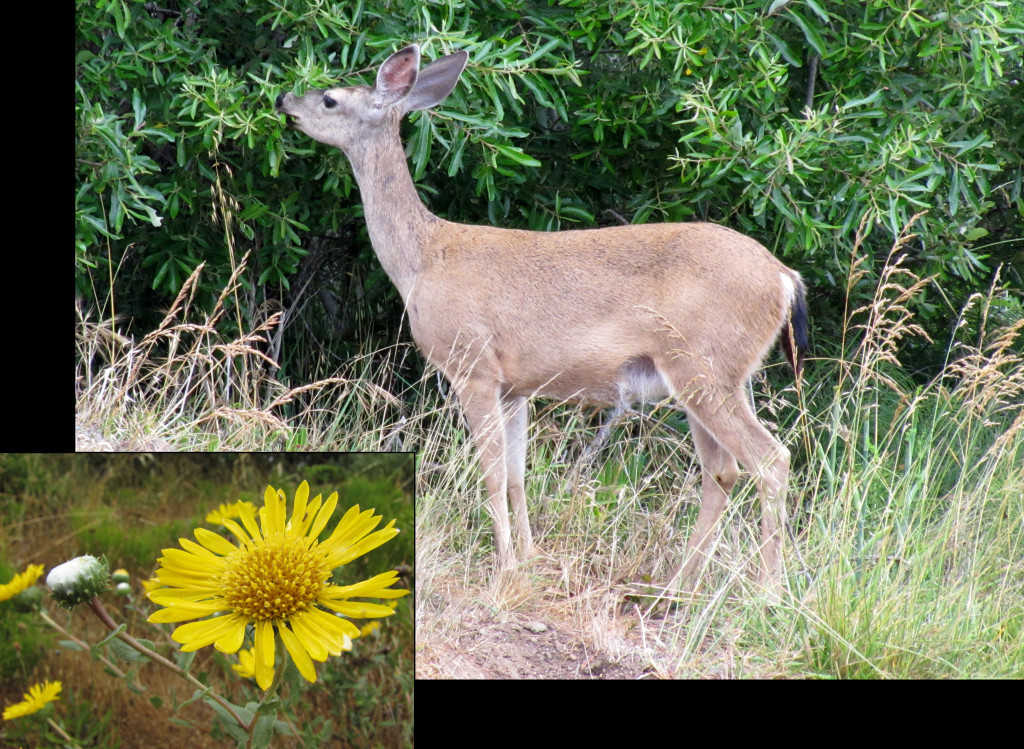
Black tailed deer
Black tailed deer having a snack and a closeup of a mule’s ear flower by Rudha-an

After the hike, we still had a bit of time to kill so we went to the picnic grounds at Battery Wallace and refueled for the walk to the lighthouse. We had the picnic grounds to ourselves.
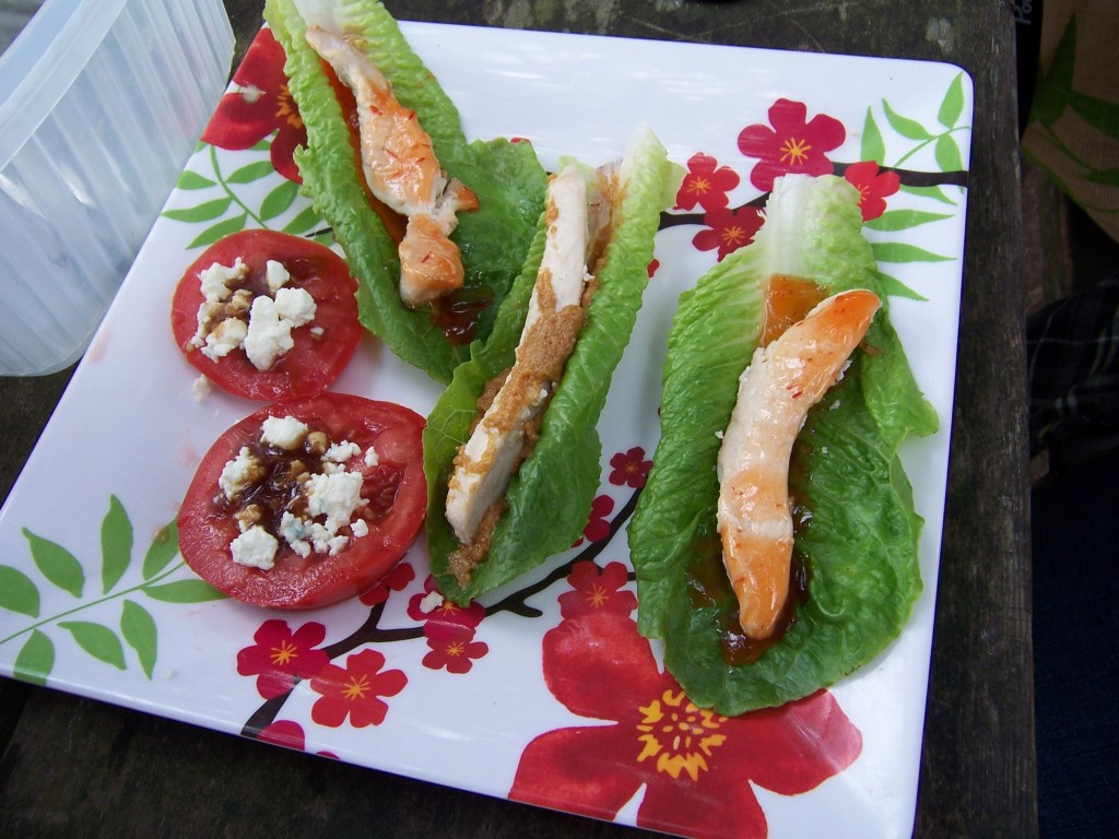
Easy and tasty snacks by Lastech
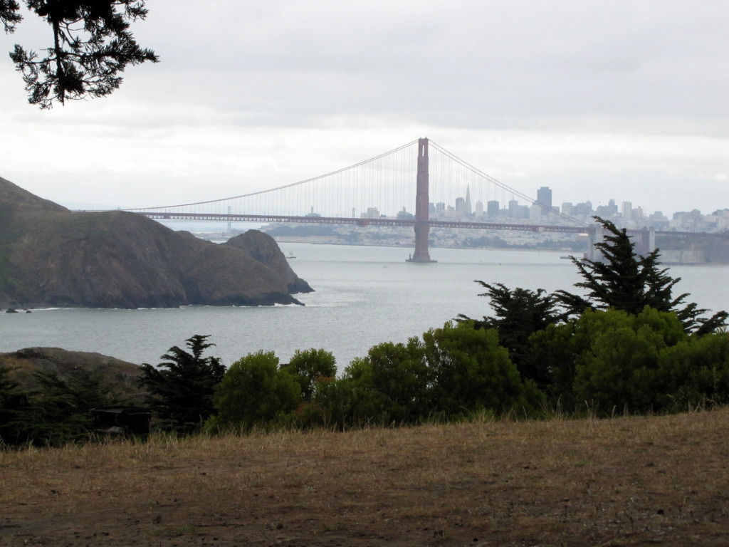
The picnic ground was empty and this was our view.  Photo by Rudha-an
The picnic ground was empty and this was our view. Photo by Rudha-an

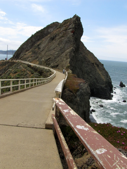
The half mile hike from the parking area to the lighthouse really gives you an idea of what is meant by ‘violent’ landscape. Start with the huge, slanted rock formation overlooking the lighthouse, imagine standing at the pedestrian bridge on a stormy night.
Picture Karl running up its jagged lines, emboldened by the mist of crashing waves, and the moon casting its own light down now and again. The mind would easily conjure up apparitions.
And since the rays from the lighthouse cannot penetrate through the rock, maybe it would be best to remain trapped on the ocean side of the tunnel, behind the locked gate.
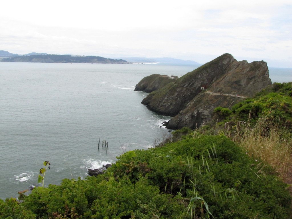
Head of the trail to the lighthouse by Rudha-an
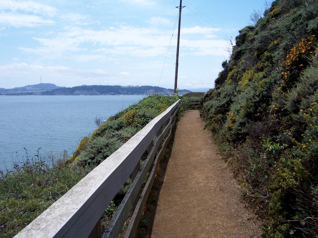
Point Bonita Lighthouse Trail by Rudha-an
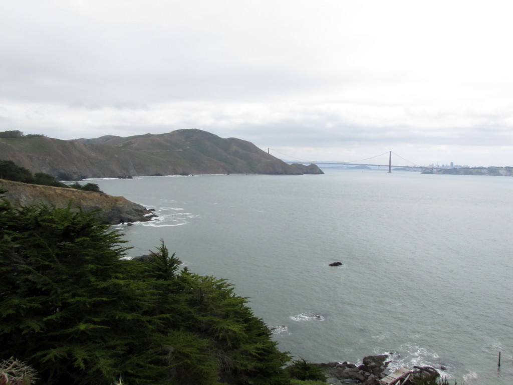
Looking back at the Marin Headlands from the lighthouse trail by Rudha-an
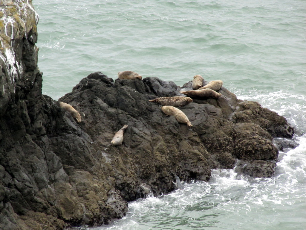
Harbor seals by Rudha-an
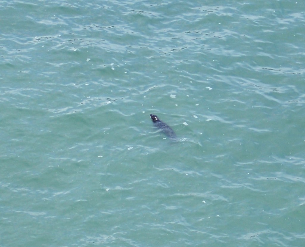
Harbor seal in the water
Tunnel entrance by Rudha-an
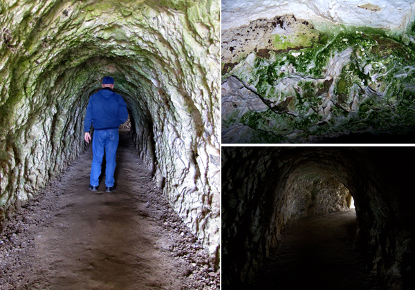
The 118' tunnel was dug by hand by Chinese laborers who had worked on the Transcontinental Railroad. It isn't large and anyone over 6 ft tall needs to be very careful. Photos by Lastech and Rudha-an
The 118′ tunnel was dug by hand by Chinese laborers who had worked on the Transcontinental Railroad. It isn’t large and anyone over 6 ft tall needs to be very careful and watch their head. The upper right photo is a closeup of the wall. Photos by Lastech and Rudha-an
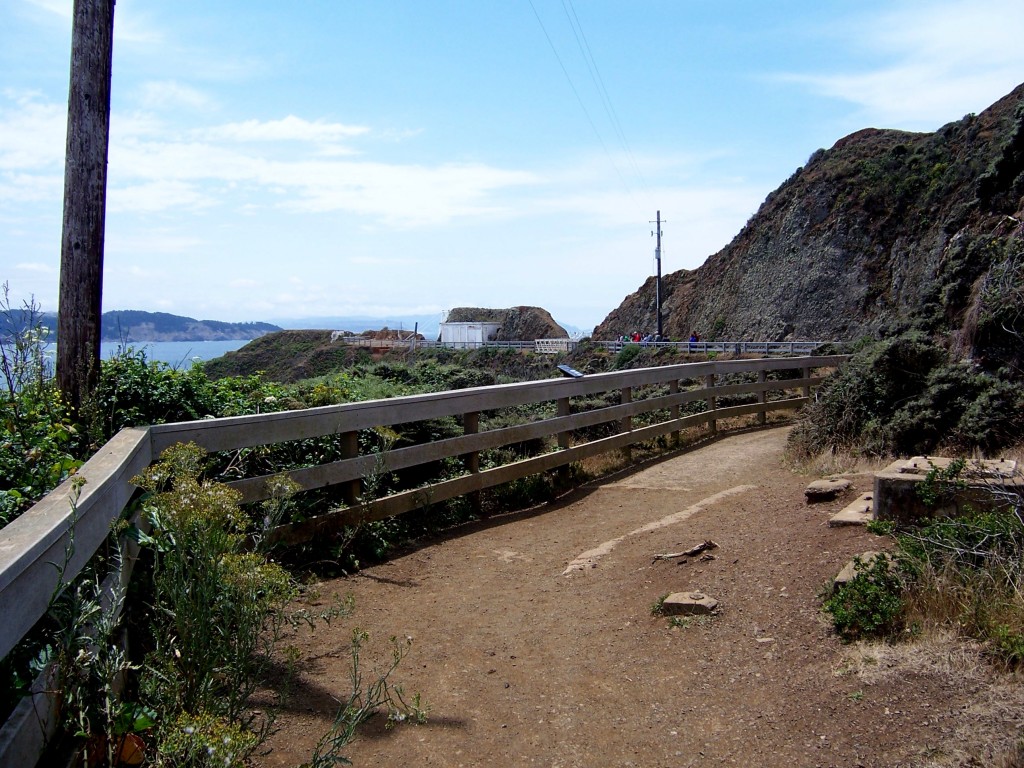
The trail on the lighthouse side of the tunnel by Lastech
Point Bonita Lighthouse trail by Lastech
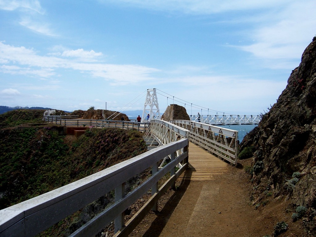
Finally approaching the bridge to the lighthouse by Lastech
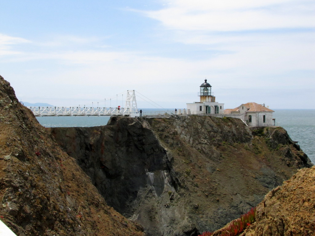
Finally! The lighthouse and bridge are in sight. Photo by Rudha-an
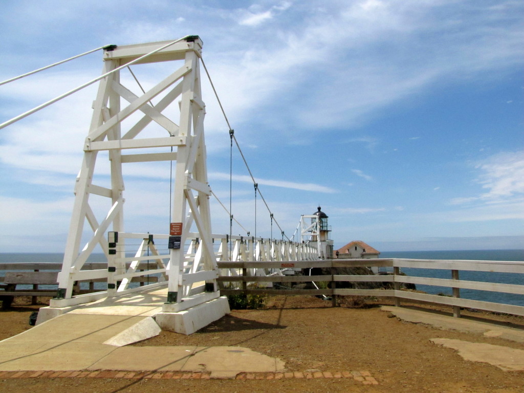
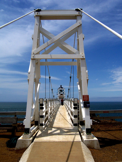
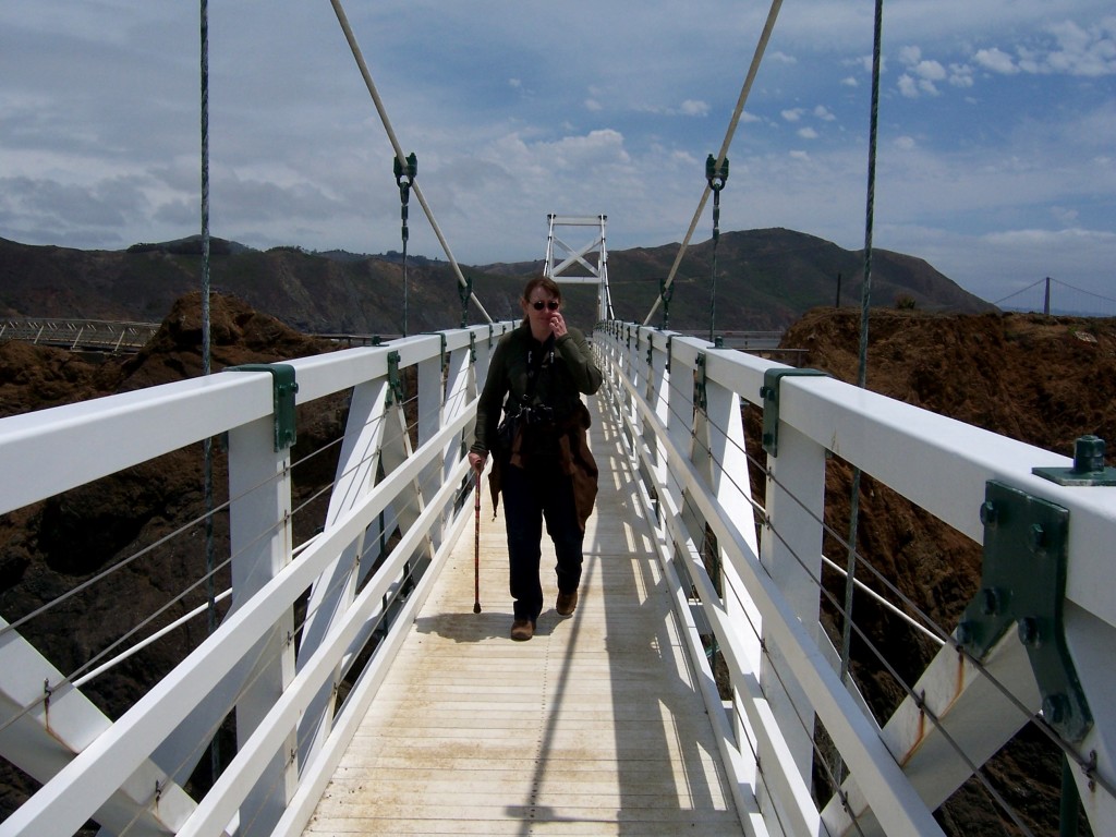
The lighthouse was closed in 2010 after the original bridge was deemed too dangerous. This is the new bridge (identical) that was finished in 2012. Photo by Rudha-an
The lighthouse was closed in 2010 after the original bridge was deemed too dangerous. This is the new bridge (almost identical) that was finished in 2012. Photo by Rudha-an
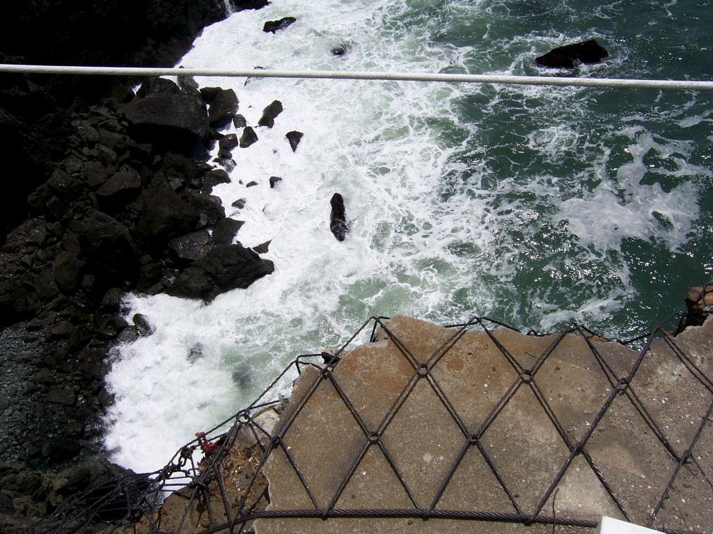
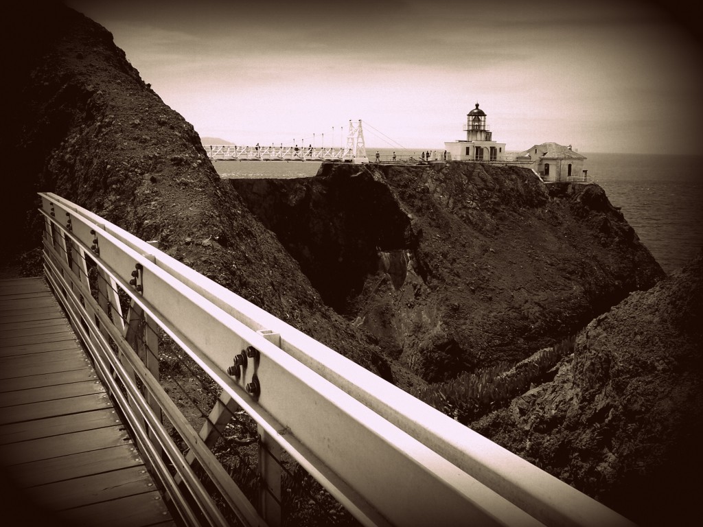
Point Bonita is the only lighthouse in the country that can only be accessed by a suspension bridge. Photo by Lastech
View from the bridge by Lastech
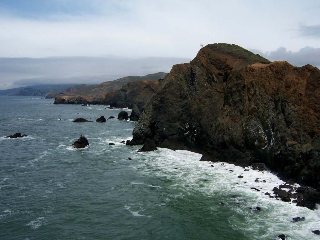
View to the north from the lighthouse. The highest point was the original site of the lighthouse. Due to our odd high fog, it had to be moved to its present location in 1877. Photo by Lastech
Rudha-an aka JuJuBeans crossing the Rubicon, by Lastech
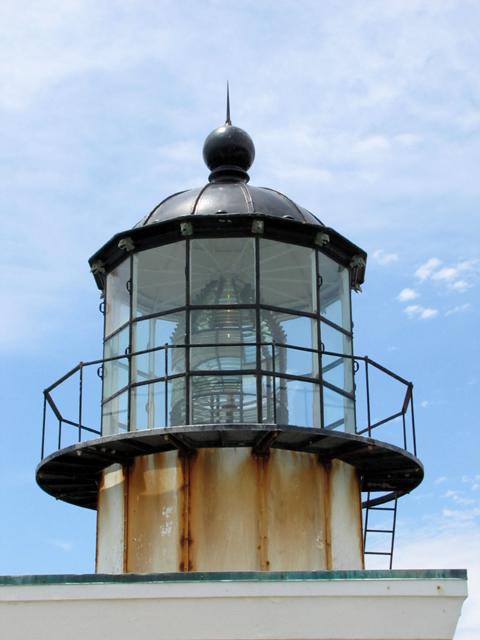
The lighthouse sill uses its original 2nd order Fresnel Lens. Photo by Rudha-an
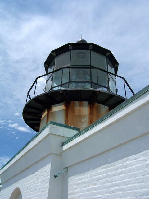
While not tall and stately, Point Bonita Lighthouse is a sturdy, but beautiful bit of architecture. Photo by Lastech
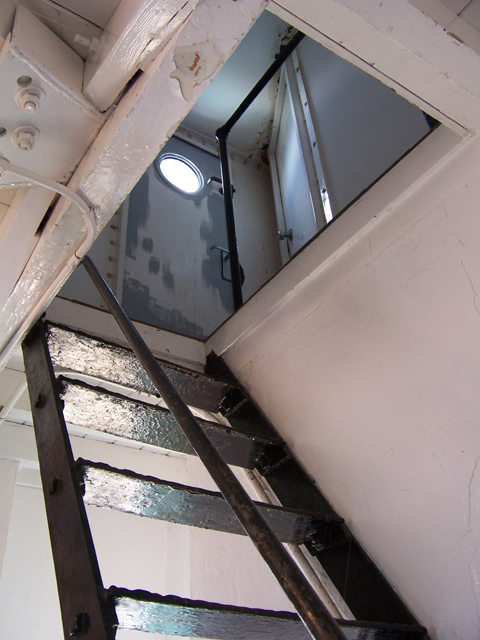
The stairs to the light by Lastech
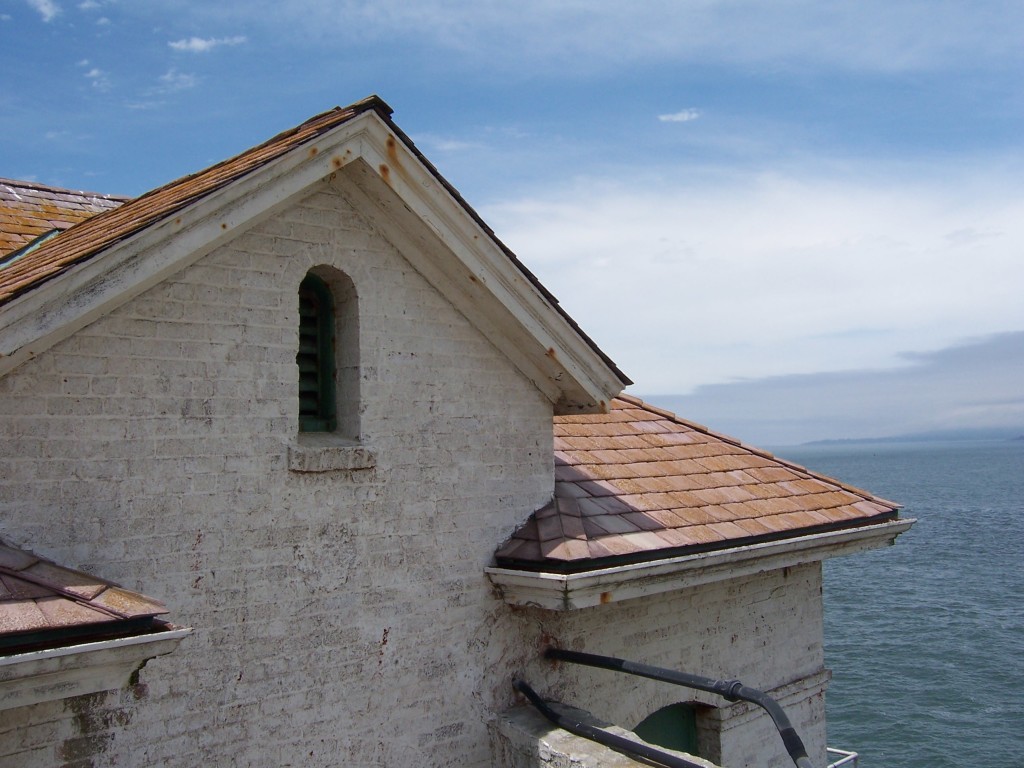
Lighthouse building. Off on the right on the horizon, Point Reyes is visible. Photo by Lastech
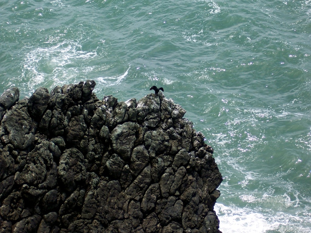
Cormorant drying its wings by Lastech
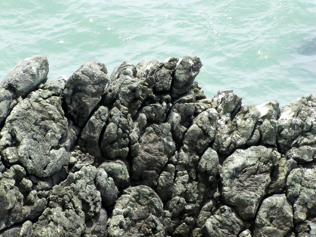
A closeup of the rocks in the previous photo. This is a beautiful example of pillow lava. Photo by Rudha-an
Looking back up the trail from the site of the original Lightkeepers house. The house was destroyed in the 1906 earthquake. Photo by Lastech

On the way back home, we made a quick stop at Hawk Hill for a view of San Francisco.
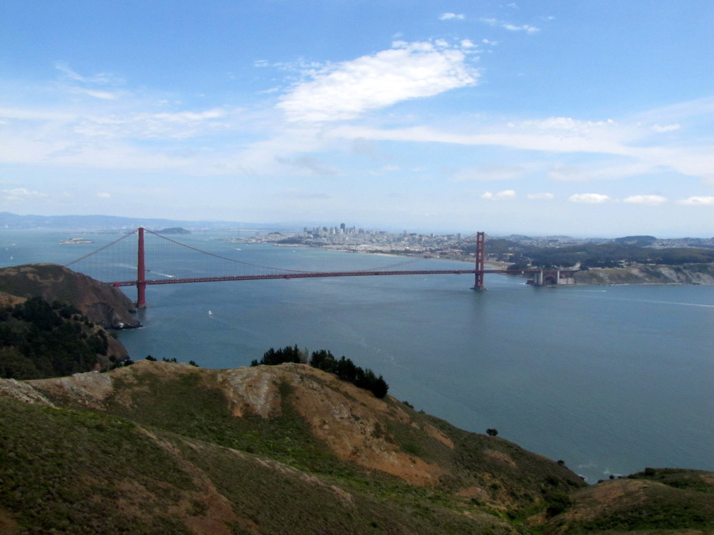
The Golden Gate Bridge and the San Francisco skyline from Hawk Hill. Photo by Rudha-an

For visiting hours and directions, check the lighthouse site here.

For historical information, check out this site.

Here is a post about nearby Battery Mendell, part of which is located where the original lighthouse stood. http://jellybeansofdoom.com/2012/12/10/coastal-batteries-mendell-you-are-there/

Increase your website traffic with Attracta.com

Share

Leave a Reply

Your email address will not be published. Required fields are marked *

This site uses Akismet to reduce spam. Learn how your comment data is processed.