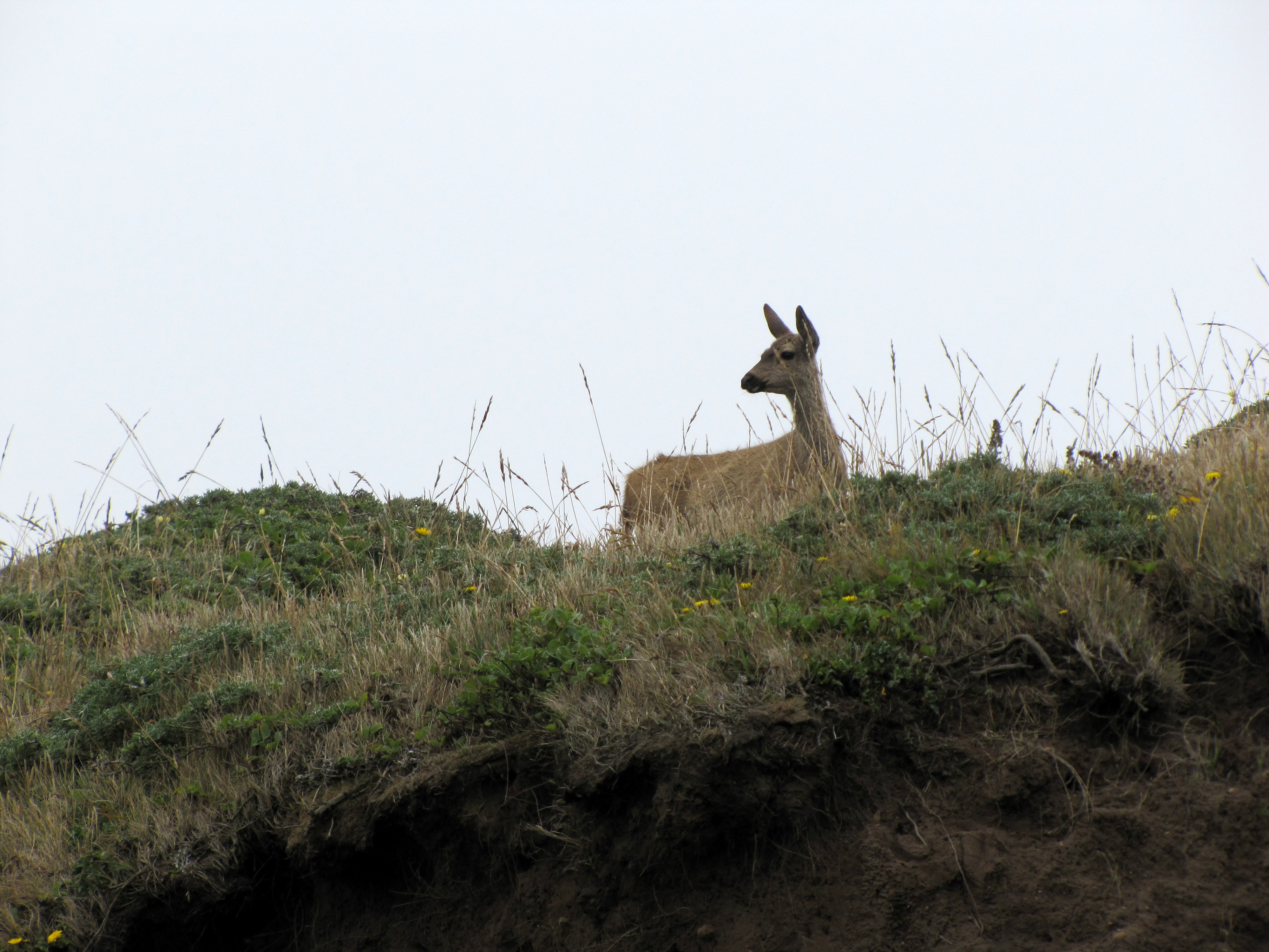
A couple of weeks ago, I wrote about our trip to Point Reyes National Seashore and the lighthouse. This time, I thought I would share a few photos of the wildlife we saw.
Point Reyes has a vast amount of wildlife. It’s a wonderful site for bird watching, whale watching and more.
I have a confession to make. I’m a cartophile. I’m not a collector. I’ve no desire to hang them on my wall. I have a collection, but they’re my trusty AAA roadmaps. I have a pile of them. We use them to figure out where we want to explore next. It’s great fun finding places we haven’t seen. This time, I pointed at Point Reyes National Seashore. For some reason, in spite of the fact that it was only 40 miles away, we had not yet paid it a visit.
This is the Great Beach as it’s viewed from the Point Reyes
The area where the picture was taken regularly sees winds of 40 mph, and a weather station once recorded a gust of 133 mph..!
Point Reyes is the windiest place on the Pacific Coast and the second foggiest place on the North American continent. Weeks of fog, especially during the summer months, frequently reduce visibility to hundreds of feet. The Point Reyes Headlands, which jut 10 miles out to sea, pose a threat to each ship entering or leaving San Francisco Bay. The historic Point Reyes Lighthouse warned mariners of danger for more than a hundred years.
Point Reyes National Seashore is also where Sir Francis Drake is most likely to have landed. Drake’s Bay is named after him.