Hiking up Sweeney Ridge

In 1769, Spanish explorer Gaspar de Portola was looking for Monterey Bay. Having missed it, he anchored off of what is now Pacifica. Short on food and water, Portola and a group climbed to the top of what is now known as Sweeney Ridge. It is where the first documented sighting of San Francisco Bay occurred. Previously, everyone had missed the bay due the the fog.

Sweeny Ridge is located in Northern San Mateo county and is a part of the Golden Gate National Recreation Area or GGNRA. You can find out how to get there by going here. Do be sure to dress warmly. The wind is always blowing at the top and it can be quite chilly.

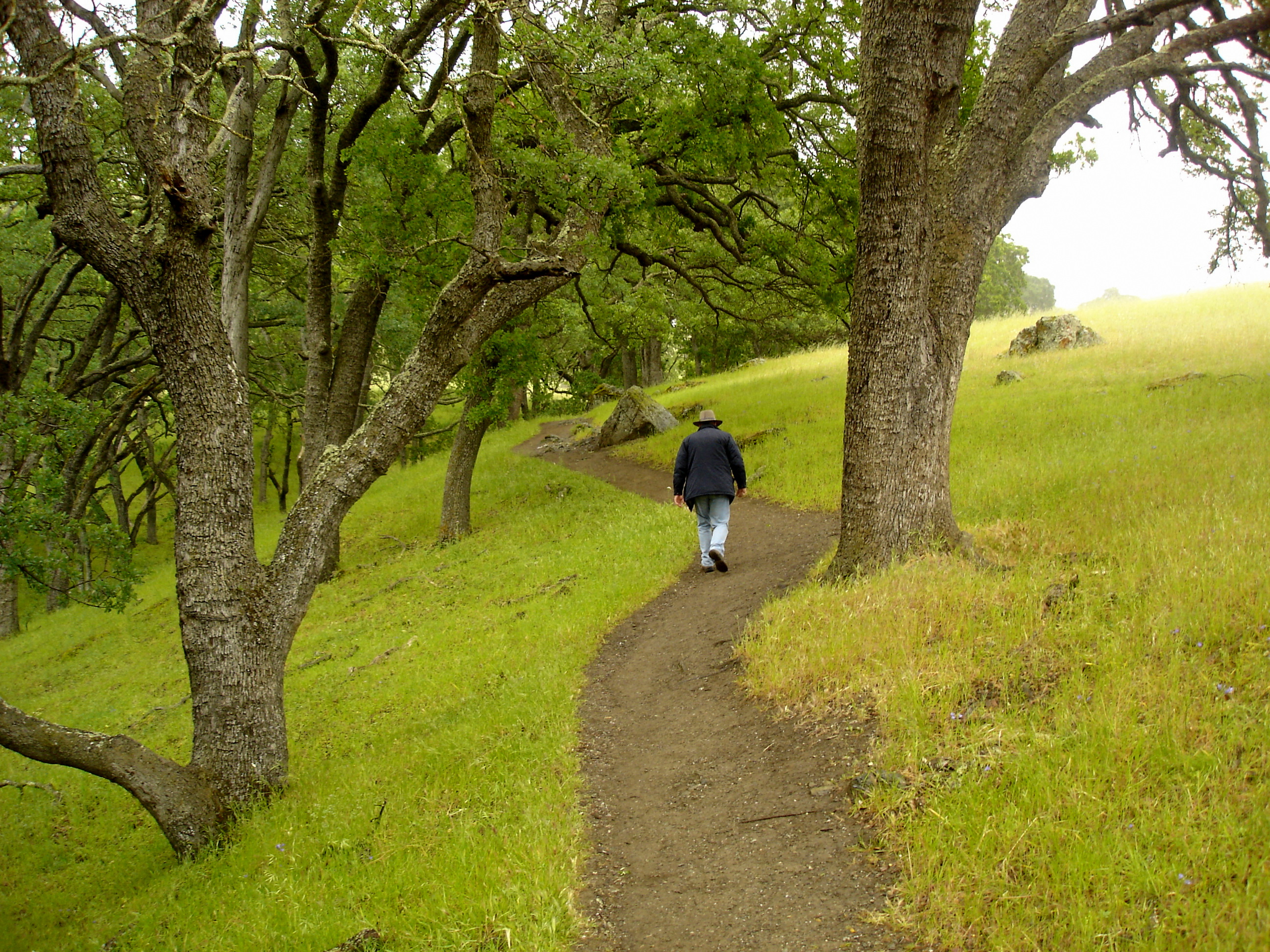
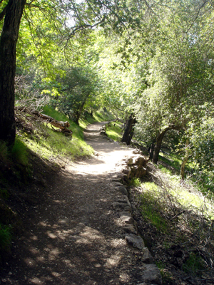
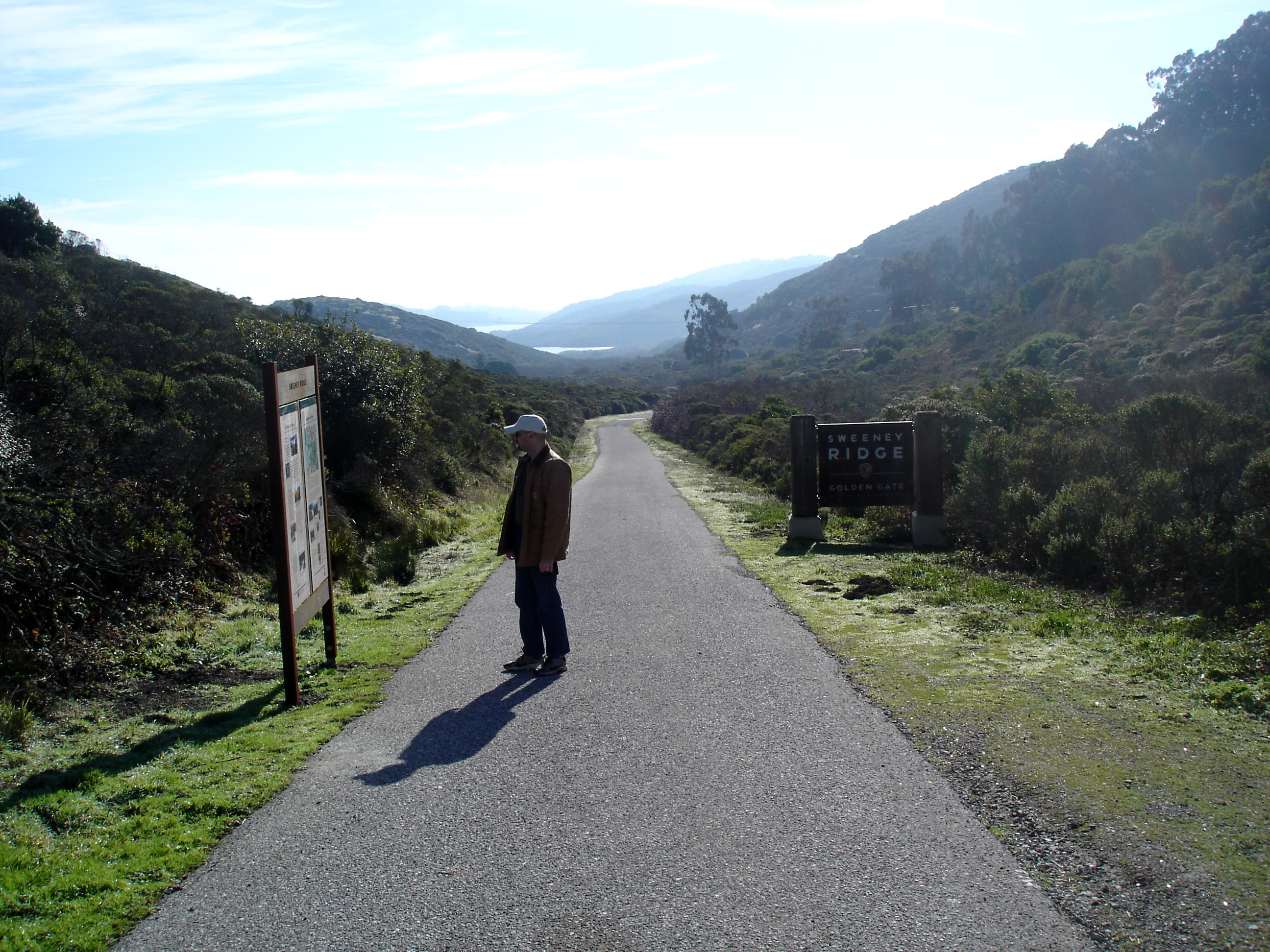
This is the start of the trail at the end of Sneath Lane.  The climb is gentle at the start, but the trail does get steep later on.

Sweeney Ridge

This is the road that leads to the San Andreas Lake. It is off limits to everyone.

Sweeney Ridge

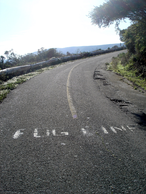
This is the beginning of the fog line. That’s the line down the center of road. The road is only one lane wide, and it was almost impossible to navigate without the fog line. I neglected to mention that the road leads to an old military installation. The trail gets pretty steep after this point.

Sweeney Ridge

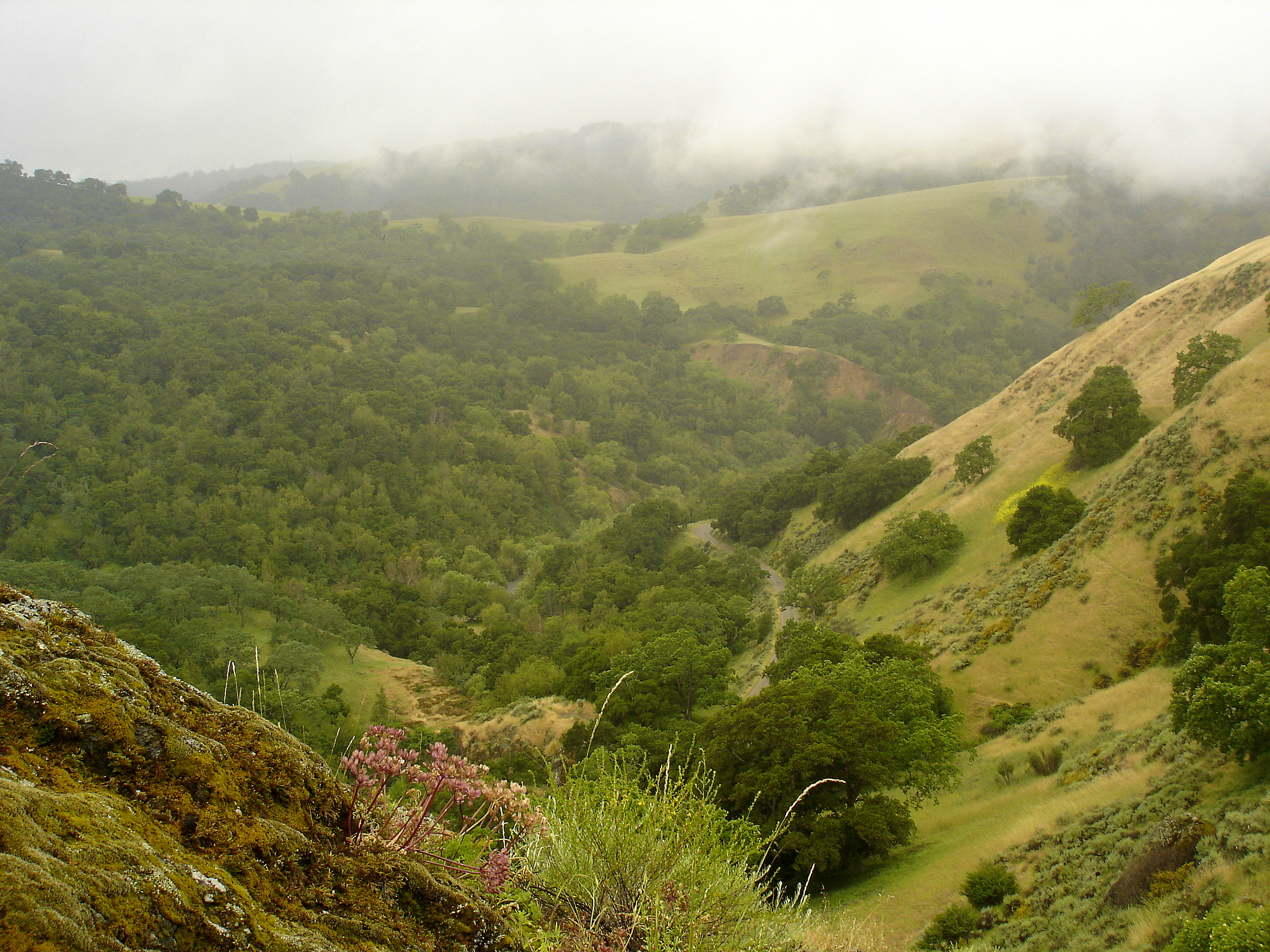
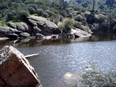
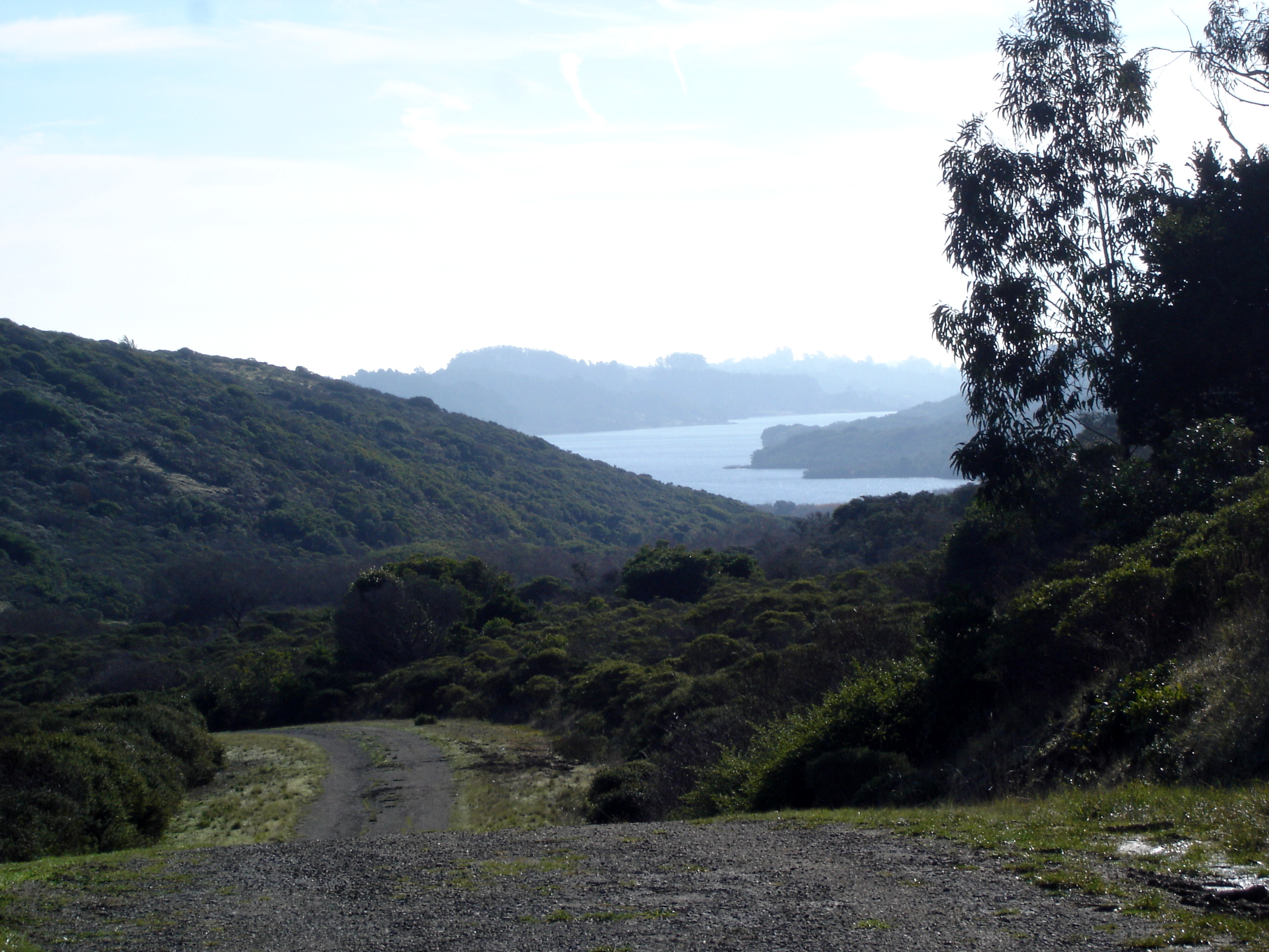
This is about halfway up and looking back at San Andreas lake.

Sweeney Ridge

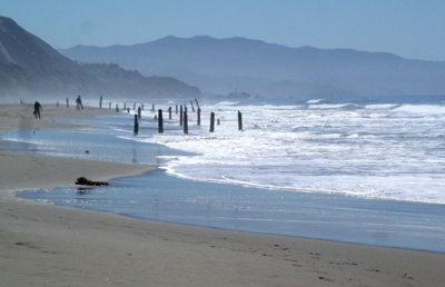
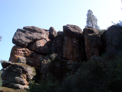
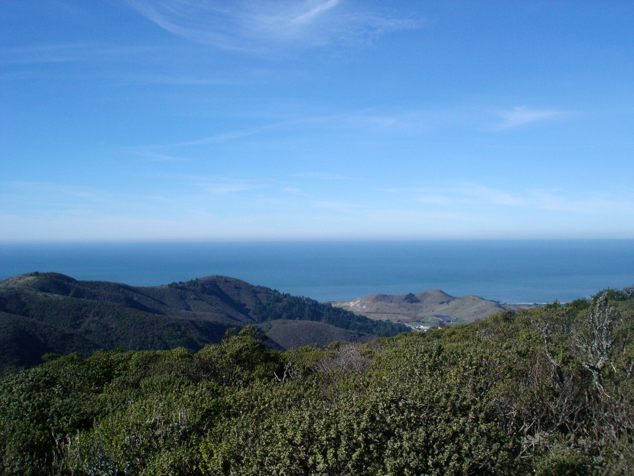
At the top, the views are stunning. The East Bay, Santa Cruz Mountains, Pacific Ocean, and North Bay are all visible from the top. This is looking to the West at the Pacific.

Sweeney Ridge

The trail will lead you to the monument that commemorates the Portola Expedition and their sighting of the bay.

Sweeney Ridge

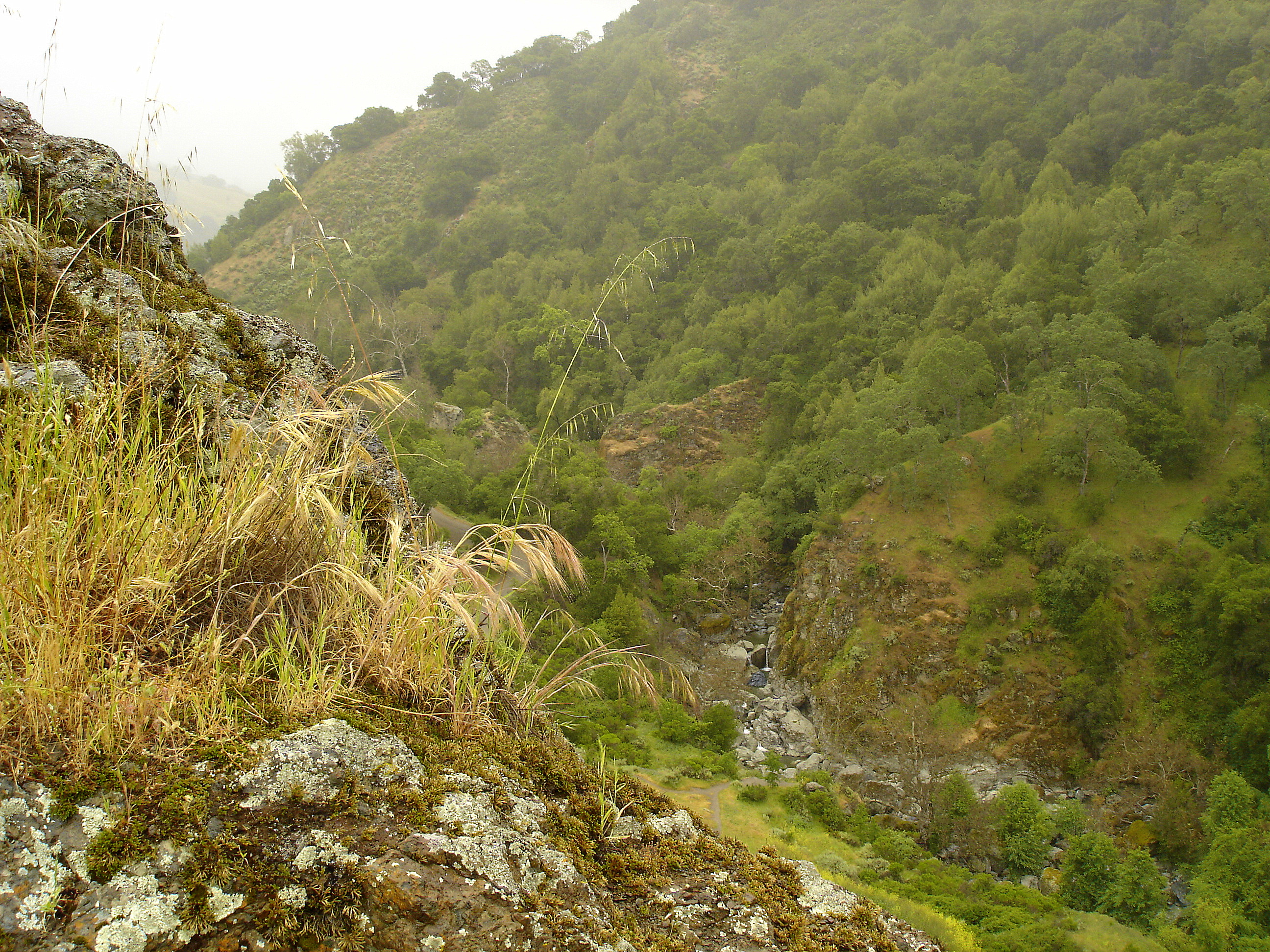
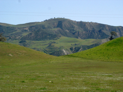
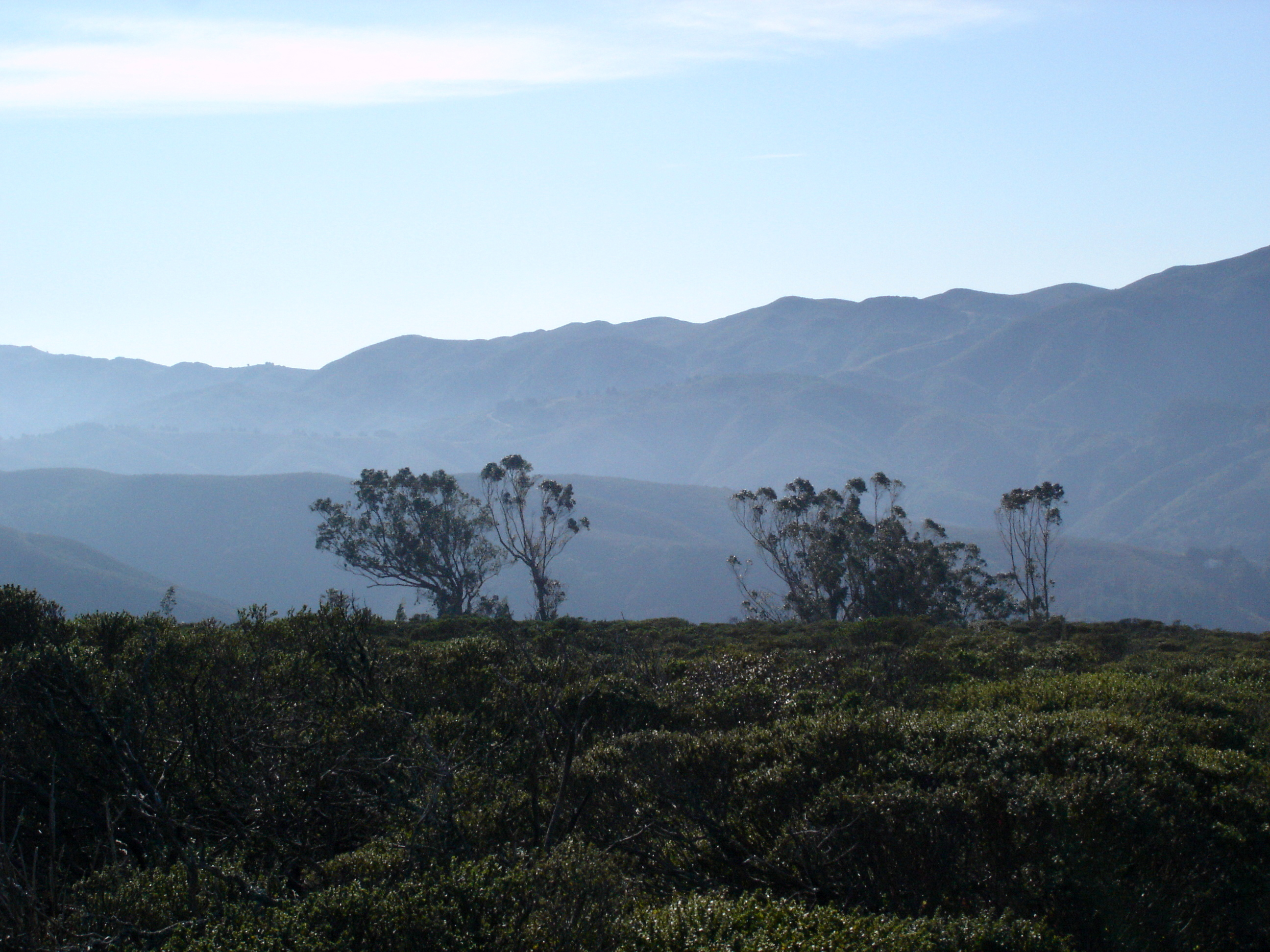
This is a nice view of the Santa Cruz Mountains to the South.

Sweeney Ridge

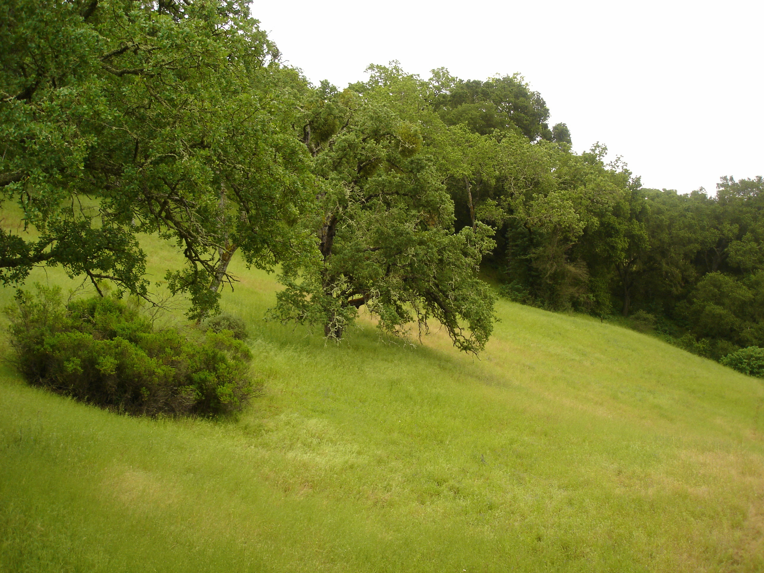
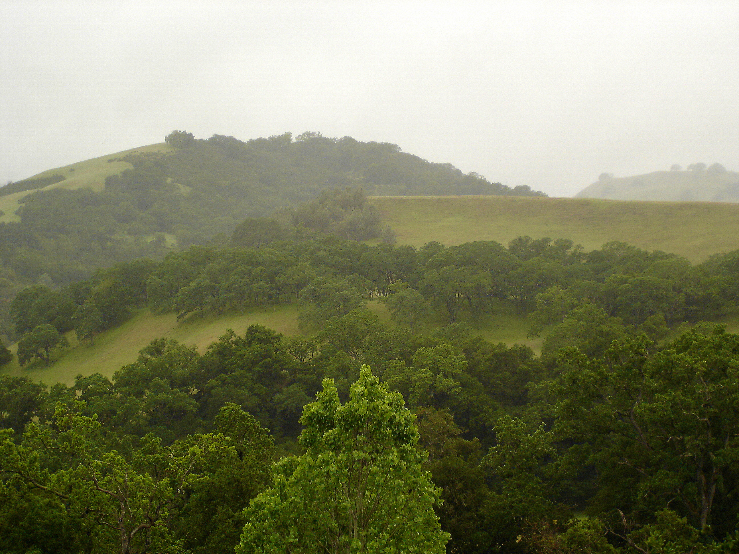
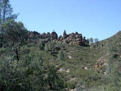
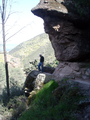
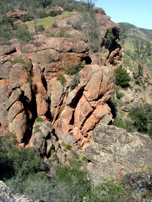
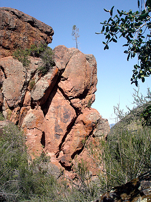
Sweeney Ridge is a great place to hike. There are two other trails to the top. One starts in Pacifica and the other starts at Skyline College. Whichever trail you choose, it’s worth it. The views are stunning.


Increase your website traffic with Attracta.com

Share

Hiking at the Sunol Regional Wilderness

The Sunol Regional Wilderness is located in Alameda County. It was established in 1962 and is owned by the San Francisco Water Dept. It is home to Little Yosemite, a scenic gorge on Alameda Creek. At the link above, you can get directions to the park.

We went to Sunol in May of last year. It was a drizzly day, but cool and nice. We began our hike at the visitor’s center, taking Flag Hill Trail over to Little Yosemite and came back via the fire road. Flag Hill Road is only 1.26 miles, but it’s quite strenuous. One can hike in and out via the fire road with minimal stress.

The easier part of the trail

The hills offer a nice contrast to redwood forests

In the spring, the hills are full of blooms. You can find mustard, poppies, and lupines.

California Poppy
California Poppy

Thistle
Thistle

The hills were green and beautiful. The land is mixed use, so you are quite likely to come across cattle on the trail. Be sure to close any gates behind you because of this.

DSC03144

DSC03136

Along the trail you can see coast live oaks, elderberry, gray pine, and madrone.

DSC03126

Along the way, pay attention to the rocky outcroppings. They are both beautiful and interesting. Once a part of an ancient seabed, there are huge boulders of greenstone, metachert and schist. Many are covered in moss.

DSC03178

DSC03157

DSC03171

This is from atop the Flag Hill Trail looking down at the fire road.

DSC03166

Again, from atop Flag Hill Trail looking down at Little Yosemite.

DSC03161

The route back was much easier. We took the fire road and it took us across this pretty little bridge over the Alameda Creek.

DSC03184


Increase your website traffic with Attracta.com

Share

Maritime history at San Francisco’s Hyde St. pier

The Hyde street pier at Hyde street and Jefferson, like many other San Francisco treasures, reveals itself slowly as you walk it and its surroundings. On a weekday at least, parking is not all too difficult, we managed to find a spot half a block away, close to the cable car turn around at the end of the Hyde street line.

The pier was a ferry pier, and now boasts boat-building and wood shops, a National Parks’ visitor center and a maritime museum across Jefferson street. As you walk past the shops, you can take a look at old machinery like the Steam Donkey engine:

Steam Donkey Engine

DSC06007 a

And this green engine, or at least what looks like one to us, and enjoy the craftmanship:

Green engine (unknown)

DSC06004 a

To the left, the square rigger SS Balclutha is moored, permanently retired from the many booze runs it performed in the 19th century, may Neptune keep its wonderful soul, a ship after my own heart:

SS Balclutha 1886 square rigger

DSC06016 a

DSC06072 a

Over to the right is the Hercules, a 1907 tug, perhaps not as glamorous as the Balclutha but served its communities just as well:

Hercules 1907 tug

DSC06025 a

And then we come to the ferry Eureka… 1890. One hundred twenty years old. Steam powered by a single cylinder steam engine built in San Francisco by Fulton iron works producing 1500 horsepower, it could ferry 2300 passengers and 120 automobiles, and did so until 1957. It is the last walking beam-engined ship still in existence as a floating vessel in the United States.

DSC06015 a

You can purchase tickets to get on board these ships, $5 per adult, free for supervised children under 16. Well worth it, as the Eureka has vintage automobiles that appear to be from the 1920s, below the passengers deck. You can’t help but wonder what it felt like to cross the Bay on the Eureka, looking out towards San Francisco, sometime in the 1920s perhaps, before the Golden Gate and Bay bridges even existed, and the City itself looked closer to the natural landscape.


Increase your website traffic with Attracta.com

Share

Hiking San Francisco’s Fort Funston

A friend commented on our blog that it needed more dog.  Since we needed to go for a good walk and fresh air anyway, we went out looking for some canines.

Our destination was Fort Funston. It’s located south of Ocean Beach in San Francisco and adjacent to Lake Merced. Fort Funston is part of the Golden Gate National Recreation Area (GGNRA) and operated under the authority of the National Park Service. I should also mention that it’s FREE, and in this economy, “free” is just fine with me.

Fort Funston parking is just off of Skyline Blvd. south of John Muir Drive. If you are coming from the north, it’s about a half mile south of the intersection. If you are coming from the south, you will need to go to the intersection and make a u-turn. The road for Fort Funston is signed.

Fort Funston once housed military batteries.  Now, it’s host to scores of dogs and dog walkers.  It is one of the premier “off leash” places in the San Francisco Bay Area.  Also, due to the Funston Shear, as it’s called, it is very popular with hang gliders. Fort Funston ranks as a Hang III (intermediate) site. There is wheelchair access to the observation deck and upper trails. There is no wheelchair access to the beach.

DSC07941 fc

DSC07942 fc

The main trail to the beach is adjacent to the hang gliding landing zone. There is a dog watering station at the trail head. Fort Funston Dog has all the information you need to go have fun with your dog.

Once at the trail head, you head south to the sand ladder which is made of logs linked together by cables. It makes it easier to descend the dunes without causing erosion.

DSC07870 f

DSC07873 f

This trail is steep and full of loose sand. It’s not long but taxing, especially on the way back up. Be sure to make regular stops along the trail to take in the view. Do be sure to carry drinking water with you.

………………………………………………………Once at the beach, you’ll see scores of dog walkers. Some are professional dog walkers and others are just humans taking their dogs out to play in the surf.

DSC07933 f

DSC07920 f

……………………………………………..I must point out that the beach can be dangerous. I would advise against wading as rip currents are common, as are sneaker waves: those odd, larger waves that come unexpectedly. Don’t turn your back on the water.

DSC07881 f

DSC07878 f

DSC07901 f

………………………………………………………………………………You don’t need to have a dog to enjoy the beach and trails at Fort Funston: the beach is beautiful and is fun for bird watching. Riders on horseback can also be seen along the shore. All in all, it’s a truly lovely place to visit.

DSC07889 f

A word of caution: On August 19, a dog named Lenny was out with his human when a man stabbed him. You can find the story here.  Lenny survived the attack, thank goodness.  The attacker has been identified, but there has been no arrest yet, so be vigilant.


Increase your website traffic with Attracta.com

Share

Beyond the Golden Gate: a short hike through Pinnacles National Monument, California

Most of our hikes have been within about a 70 miles radius from the San Francisco peninsula, so this day trip to Pinnacles Monument, 145 miles to the South of San Francisco and just East of the Salinas Valley, promised to offer something different. Well accustomed as we are to the greenery of the Golden Gate National Recreation Area (G.G.N.R.A.), I was particularly keen on visiting what I expected to be a blend between the Bay’s woods and forests and the California desert.

Much of the landscape on the way there bears the marks of seismic activity spread over many centuries and Pinnacles itself is so named because of the spectacular jutting remnants of the long extinct Neenach volcano.

We arrived at the park after an early lunch in Hollister and promptly bought more bottled water at the visitors’ store as the sun was almost directly overhead by then. Even in March, and although it had rained in the previous couple of days, you can never have too much water outdoors.

In addition to some unique geological features, the park is also one of very few places where one can observe California Condors in the wild, thanks to outstanding efforts to re-establish the species. They remain one of the main attractions of the park and we spent a good while learning about them and conservancy efforts from the volunteers at the visitor center.

From the Bear Gulch visitor center, we set out onto the Moses Spring trail:

This took us to the Bear Gulch talus caves, which are the result of huge rocks tumbling down narrow gorges during massive earth tremors. Thankfully, it is possible to exit the caves in several places, since in some spots, water was ankle deep and the low ceiling would force us to our knees. Navigating, or rather, contorting through the narrow, claustrophobic passages, I kept thinking we might enact a 30 seconds or less version of “a bug’s life” with a tragic ending should the earth decide to move again, but at least it wouldn’t be thirst we’d die of:
And from there, we climbed up stairs to the Bear Gulch reservoir, a nice place to catch your breath and stretch, where the views are both serene and spectacular:

Hiking the Rim trail was an easy walk away from the reservoir, with plenty of interesting rock formations along the way back to the High Peaks trail, not to mention views very much reminiscent of old Disney nature documentaries. Although we took the High Peaks trail a couple hundred yards towards Hawkins’ peak, we managed to catch sight of only one Condor gliding high above, but were too unsteady to get a clear picture (sorry!).  For more information on this national treasure, check this National Park Service link:http://www.nps.gov/pinn/


Increase your website traffic with Attracta.com

Share