I have a confession to make. I’m a cartophile. I’m not a collector. I’ve no desire to hang them on my wall. I have a collection, but they’re my trusty AAA roadmaps. I have a pile of them. We use them to figure out where we want to explore next. It’s great fun finding places we haven’t seen. This time, I pointed at Point Reyes National Seashore. For some reason, in spite of the fact that it was only 40 miles away, we had not yet paid it a visit.
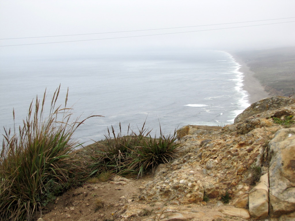
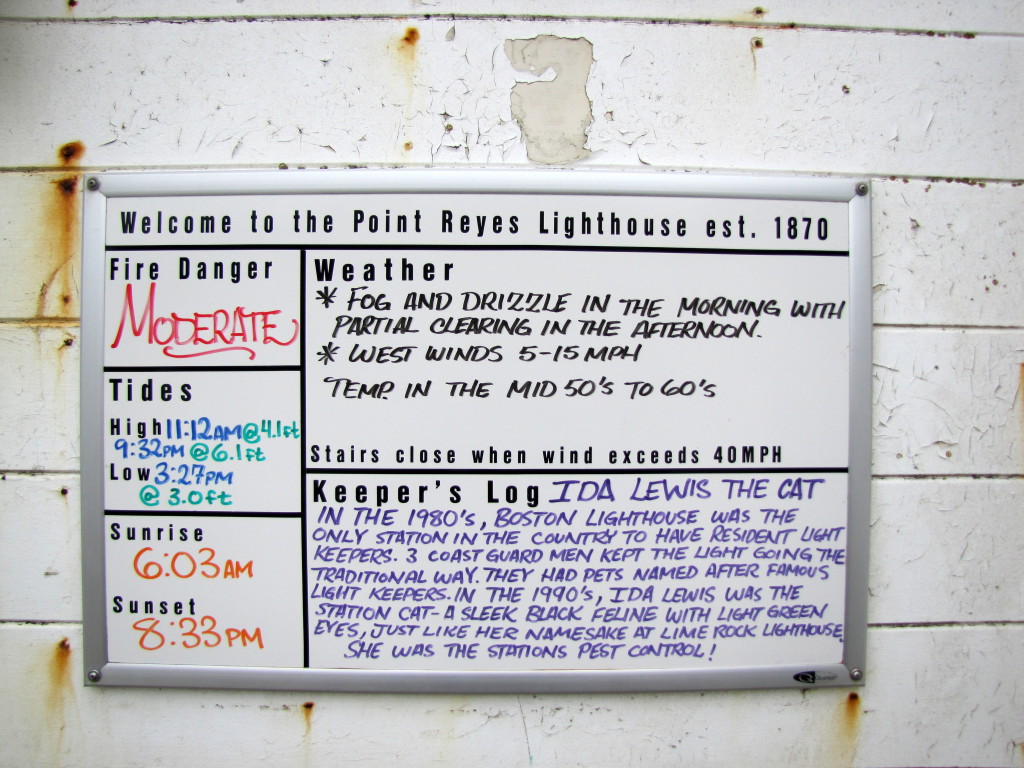
The area where the picture was taken regularly sees winds of 40 mph, and a weather station once recorded a gust of 133 mph..!
According to the National Park Service:
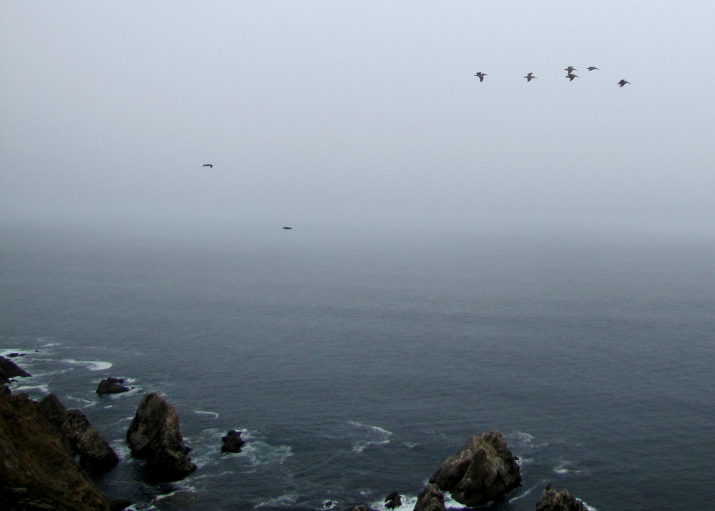
Point Reyes is the windiest place on the Pacific Coast and the second foggiest place on the North American continent. Weeks of fog, especially during the summer months, frequently reduce visibility to hundreds of feet. The Point Reyes Headlands, which jut 10 miles out to sea, pose a threat to each ship entering or leaving San Francisco Bay. The historic Point Reyes Lighthouse warned mariners of danger for more than a hundred years.
Point Reyes National Seashore is also where Sir Francis Drake is most likely to have landed. Drake’s Bay is named after him.
Follow along for our visit to the lighthouse.
Point Reyes National Seashore is located about 40 miles NW of San Francisco. I’m including this small map as I was mortified to discover that my librarian and her aide had no clue that Point Reyes even existed let alone an idea of where it was. They didn’t know that it was almost in their back yard. ouch
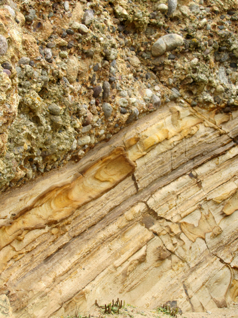
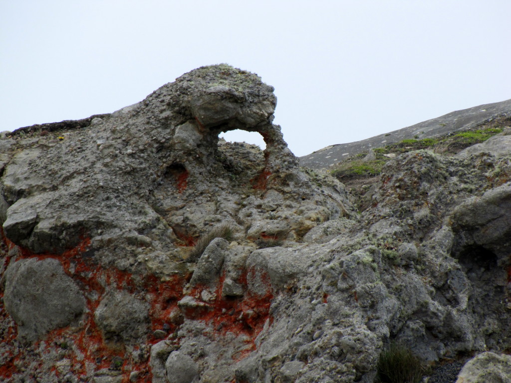
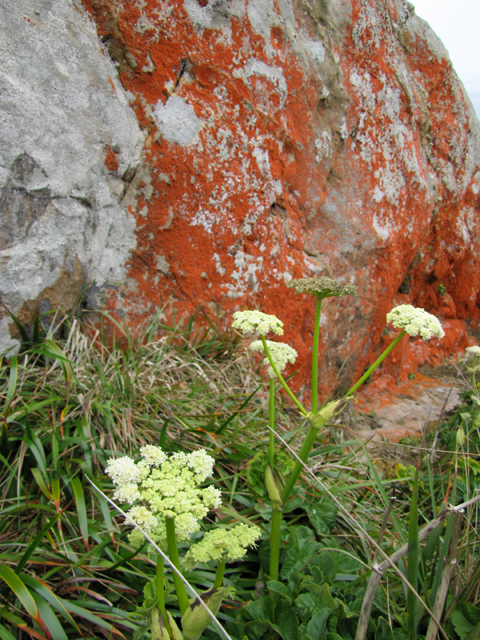
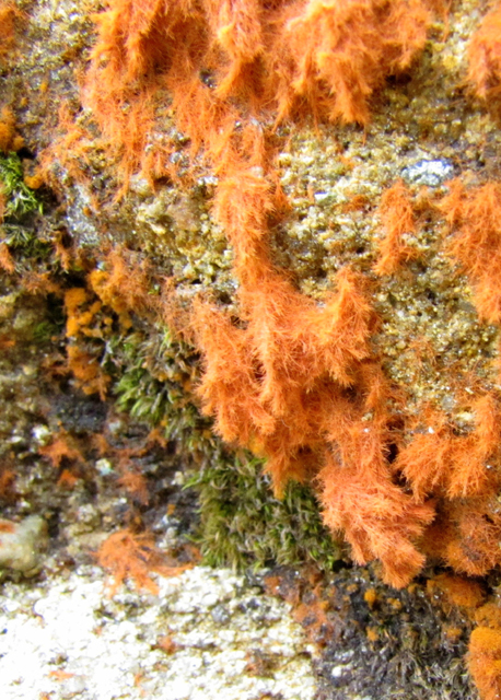
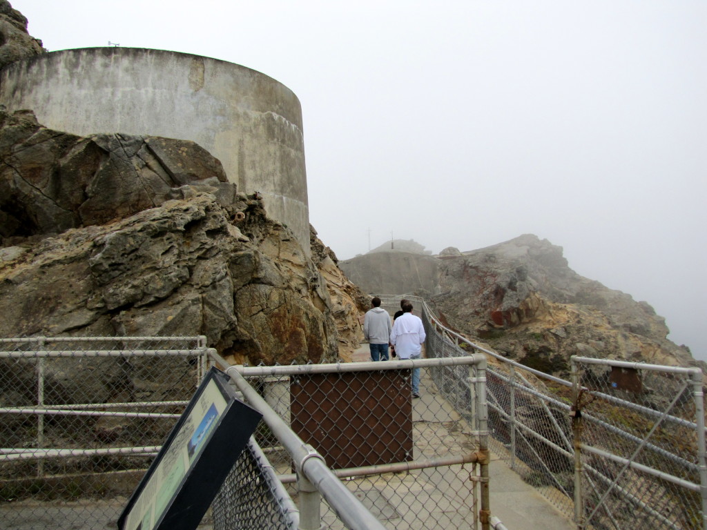
From the parking lot it was about .4 miles (650 meters) walk to the visitor center…uphill. It wasn’t bad at all. Here’s a bit of what we saw on the way.
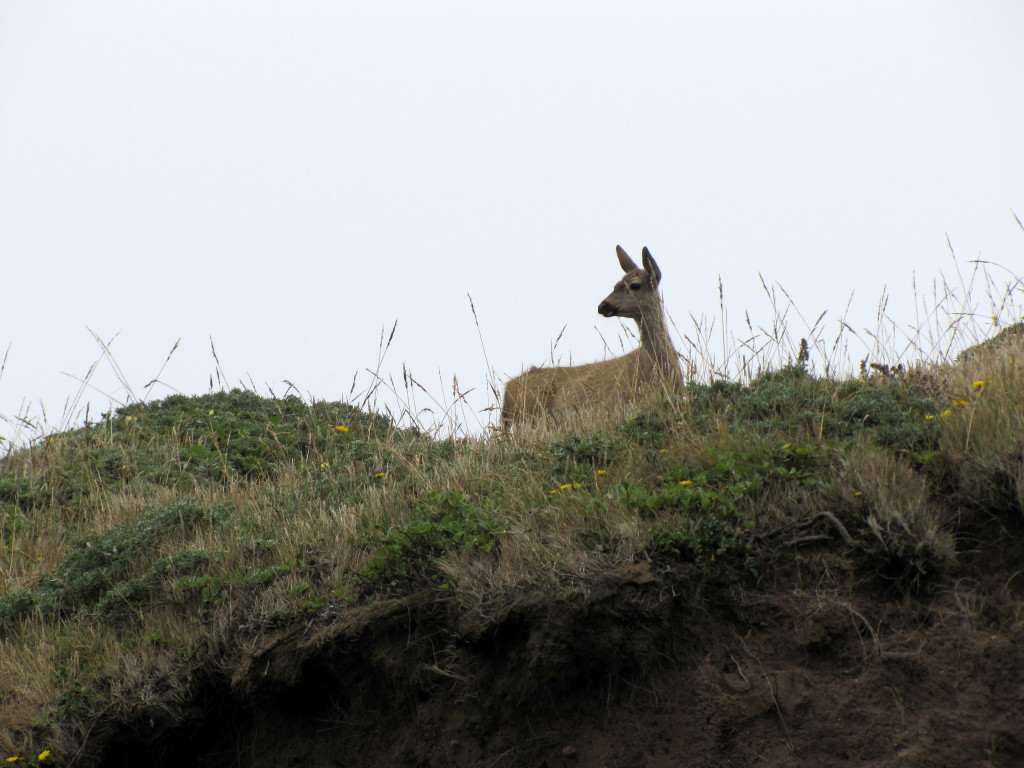
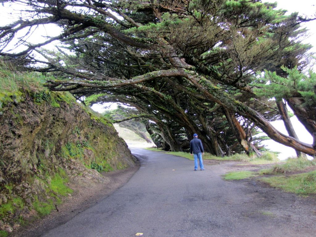
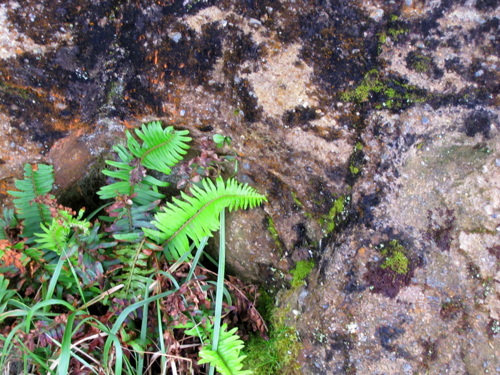
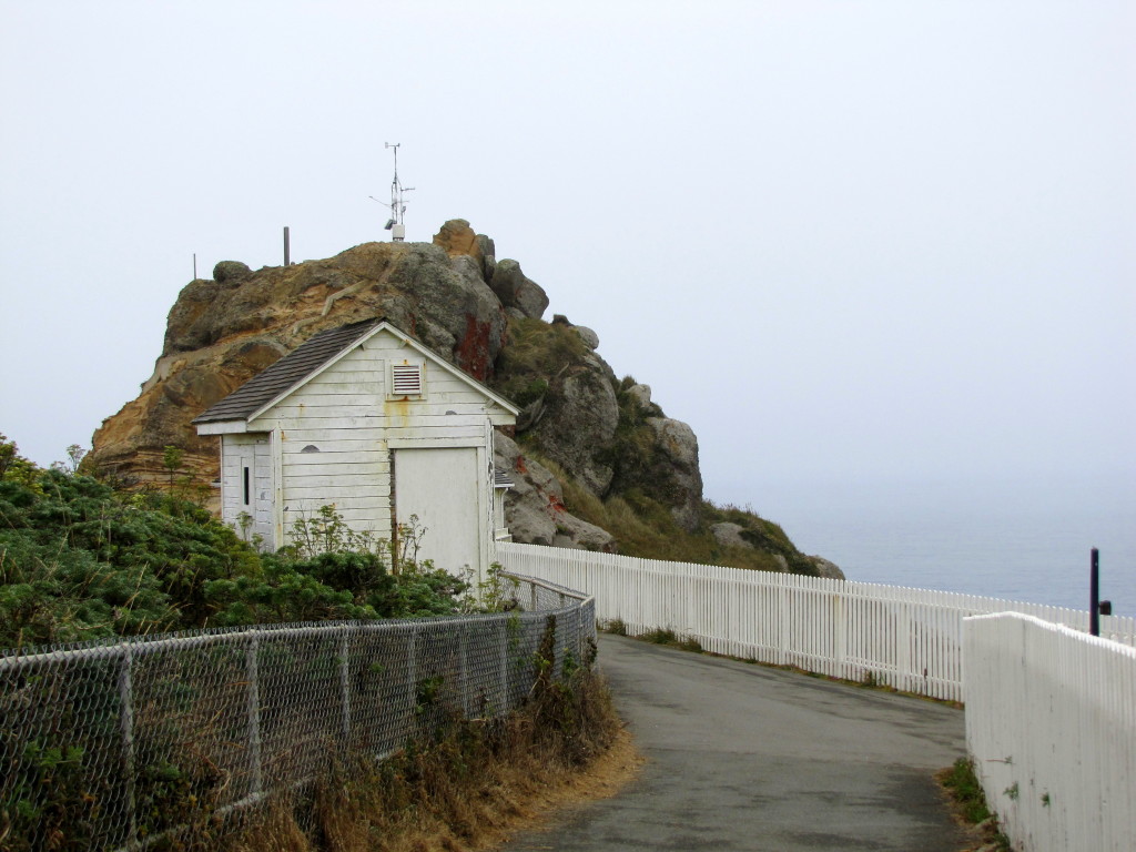
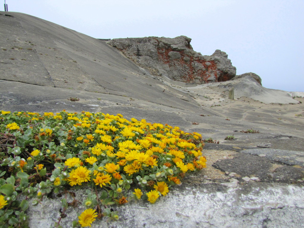
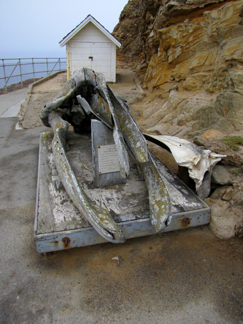
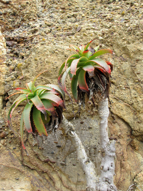
Located only in this area is Point Reyes conglomerate. This rock is unusual and unique. It dates from the the Paleocene, about 65 million years ago.
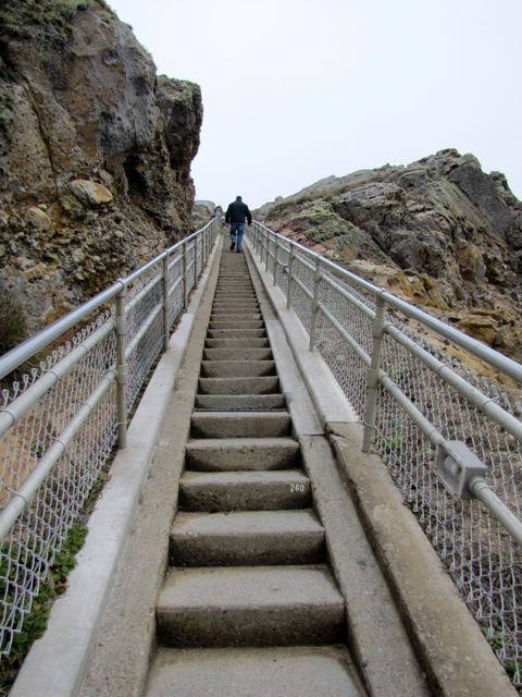
And then we rounded the corner and there it was! ERMAHGERD!!! STERS!!! Jeebus on a pogo stick, I was about to walk down that thing. My smile froze in a richtus. I wasn’t terribly sure I would return, but I figured I would cross that bridge when it got to it. I suppose I should explain. I have very little cartilage left in my feet. To put it lightly, it hurts to walk. I use a cane and walk anyway. I’m stubborn that way.
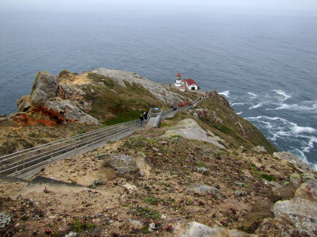
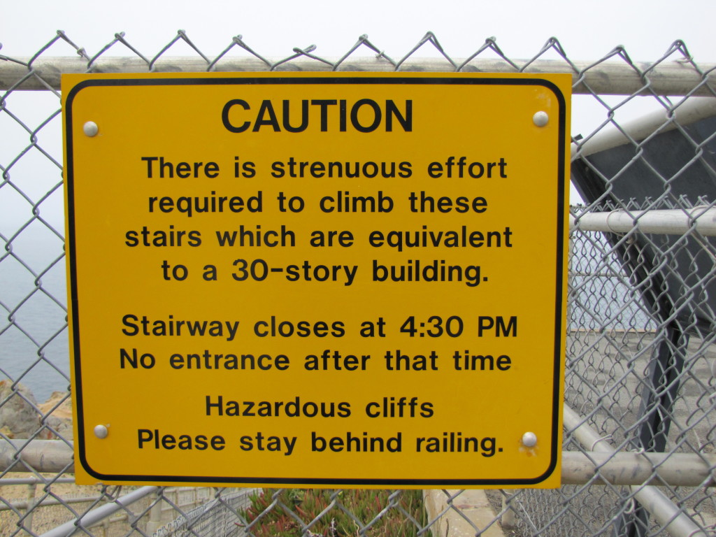
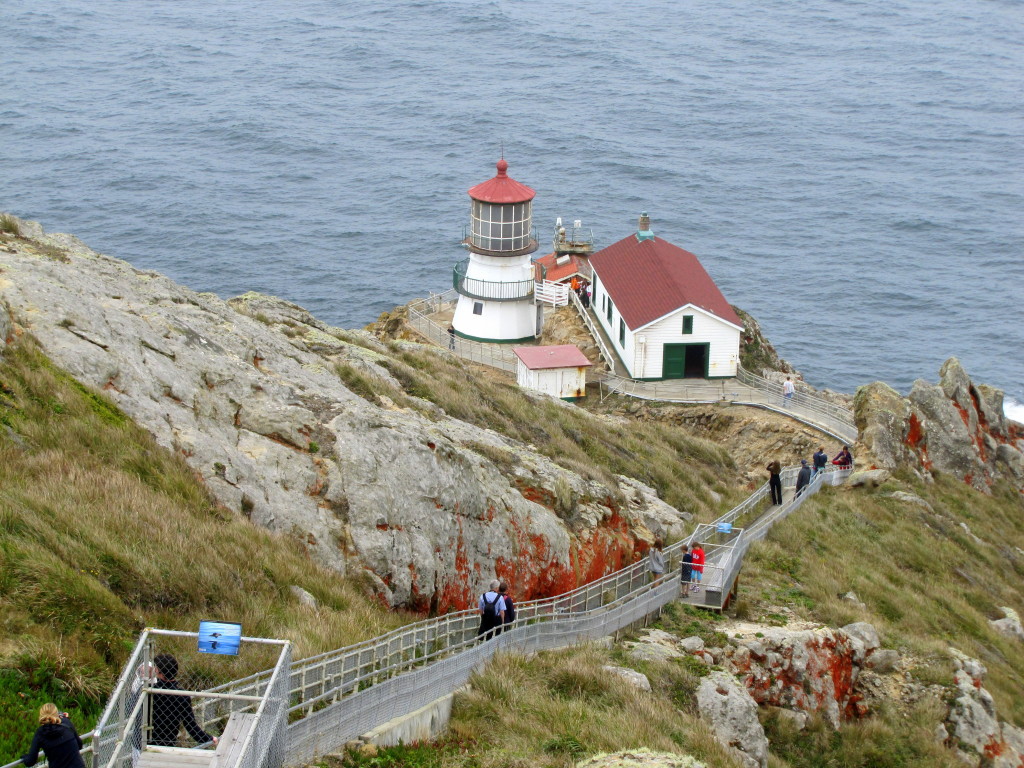
The Point Reyes Lighthouse was built in 1870 and retired from active service in 1975. It had to be placed lower on the cliff to avoid being lost in the fog.
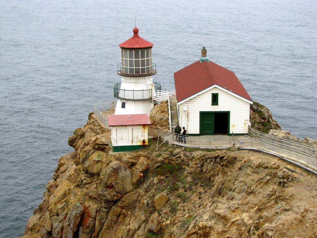
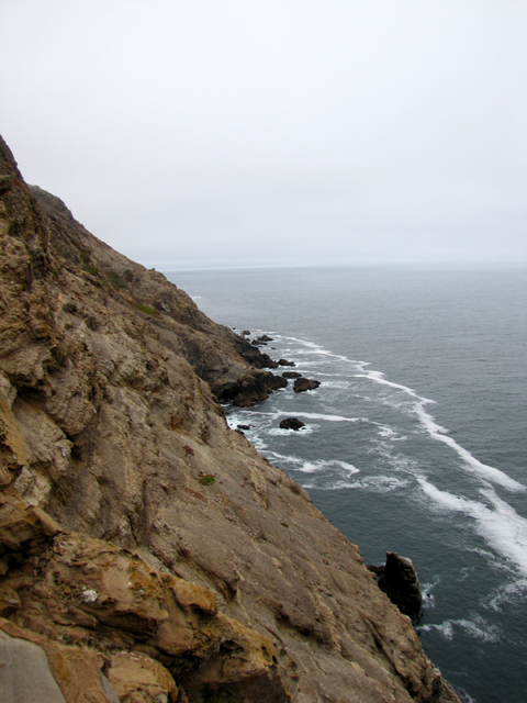
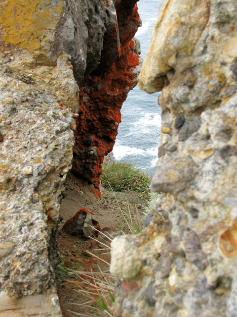
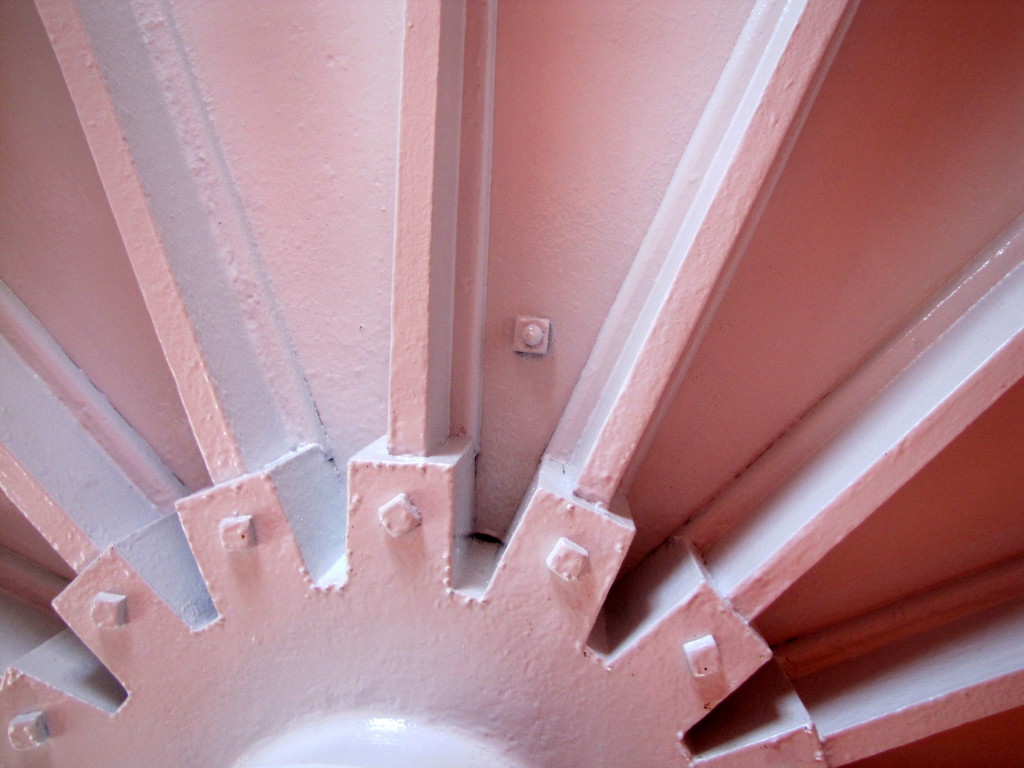
After we wandered for a bit, the fog rolled back in and we decided to climb back up the stairs. Back in the day, this was a regular trip for the light keepers who lived at the top.
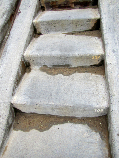
If you wish to visit Point Reyes National Seashore, I recommend these two books.
Point Reyes: The Complete Guide to the National Seashore & Surrounding Area by Jessica Lage
Natural History of the Point Reyes Peninsula by Jules G. Evans
The cat was named after Ida Lewis, a light keeper. She was amazing.


3 Replies to “Point Reyes National Seashore: The Lighthouse”