Caturday: Playing in the snow

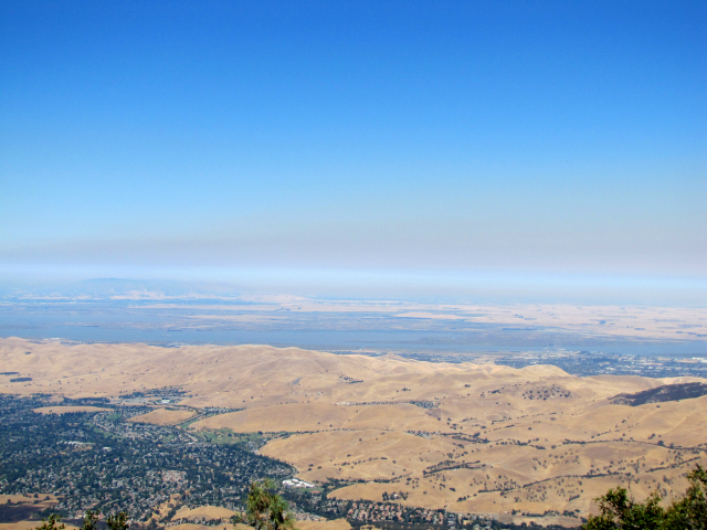
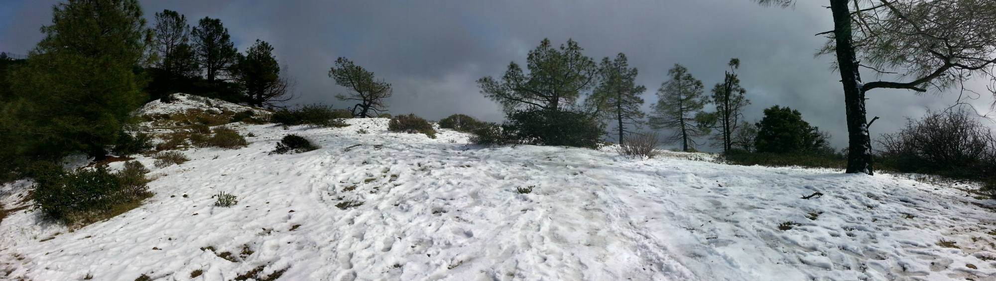
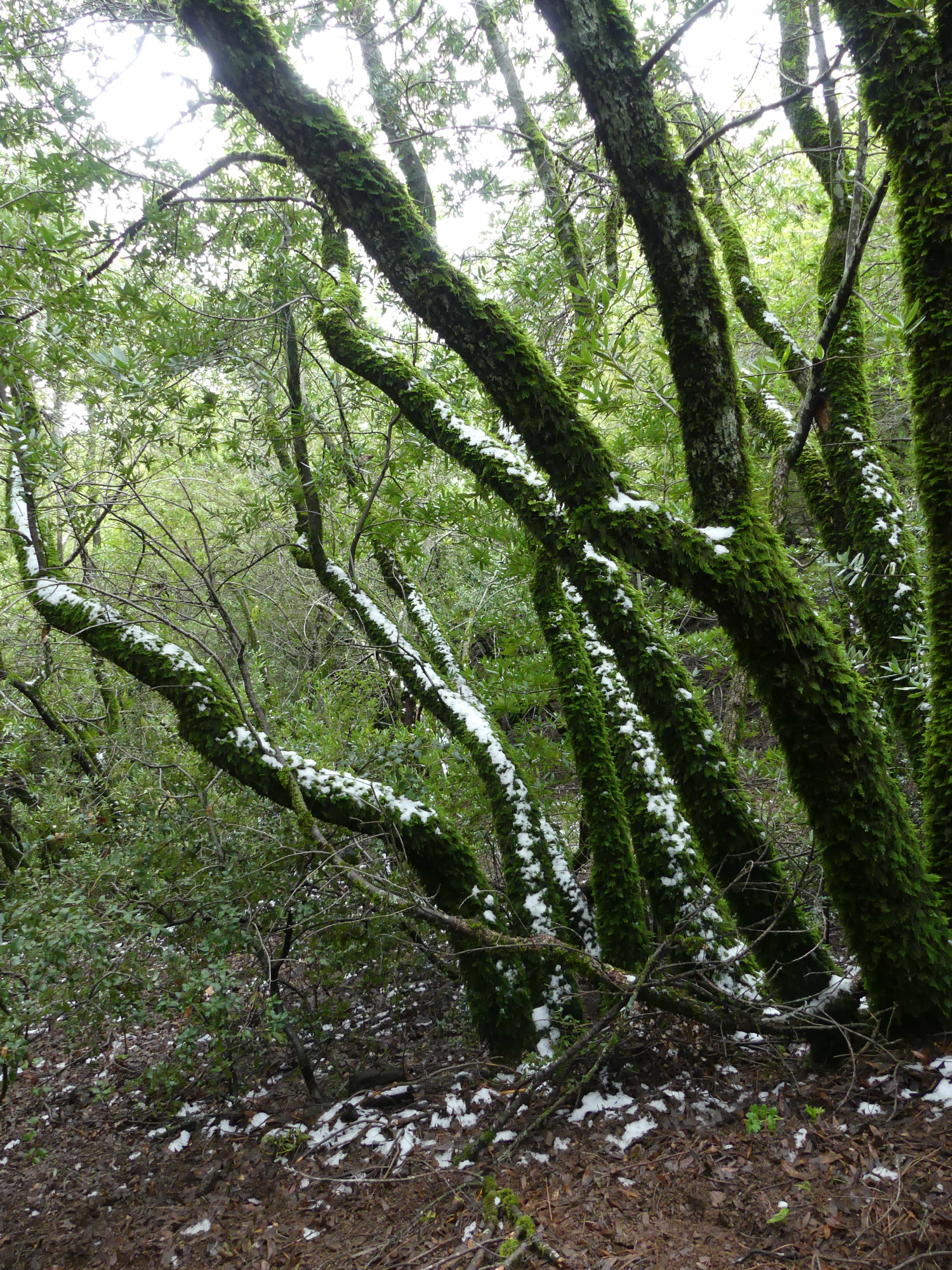
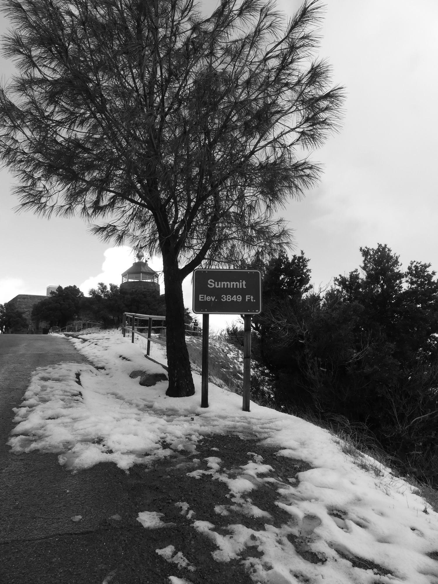
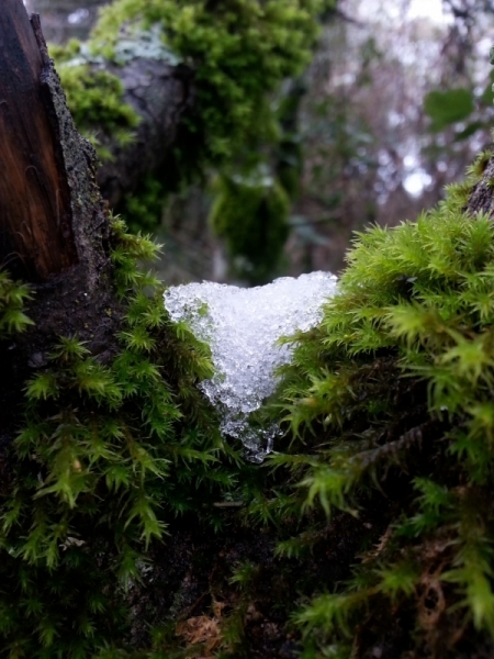
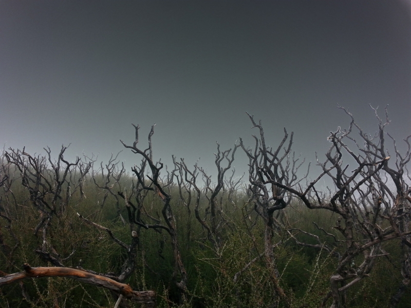
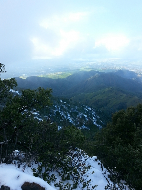
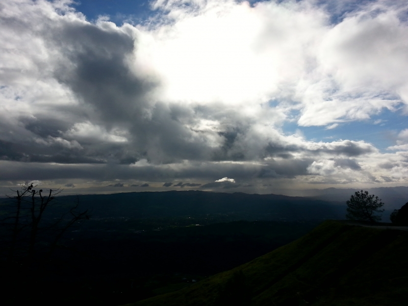
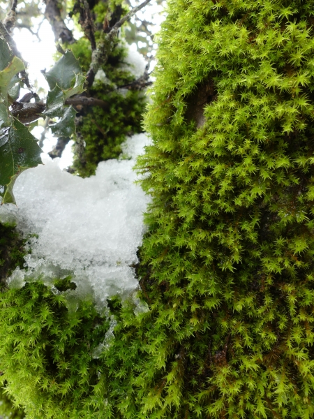
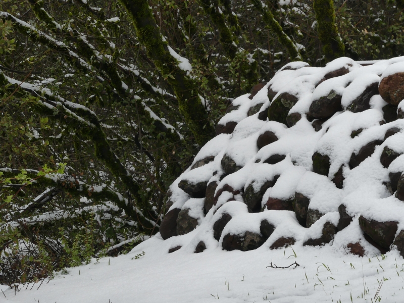
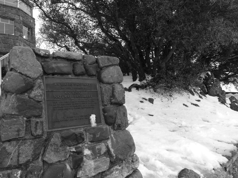
Ok, we didn’t quite play in it, we did manage to hike in it. While there has been plenty of snow in the Sierra Mtns., the snow level rarely drops enough for it to cover the top of Mt. Diablo. Last weekend, it was cold enough. I was afraid it would be rained away Sunday night, but nope. It was still there on Monday, so off we went. We had a snow day. I know many of you live in snow country and are probably rolling your eyes. 🙂 This was the first time I touched snow since January of 2002.

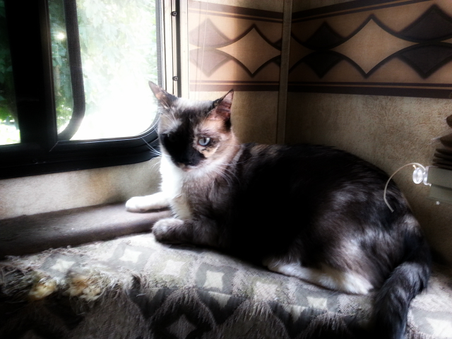
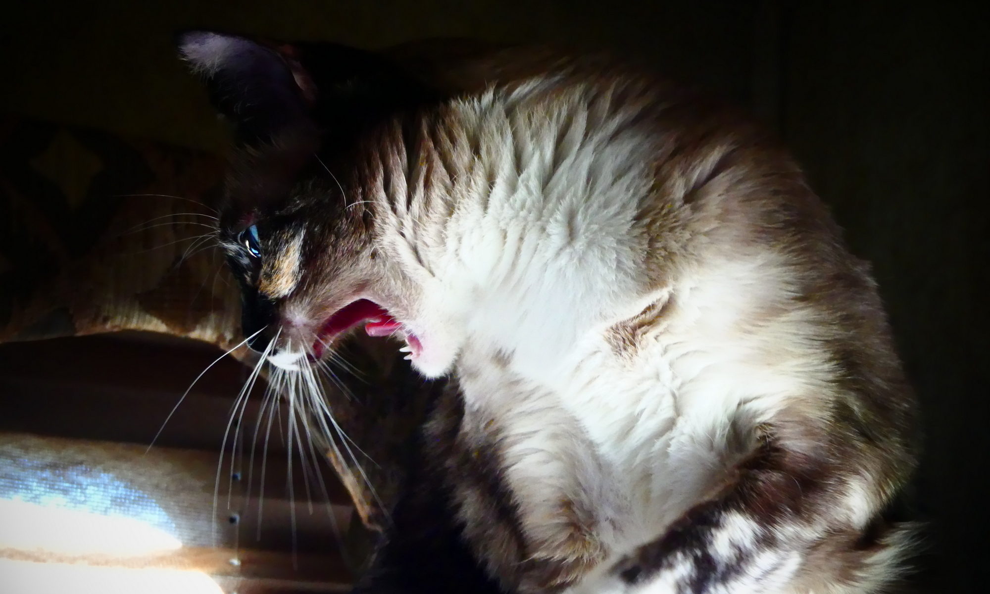
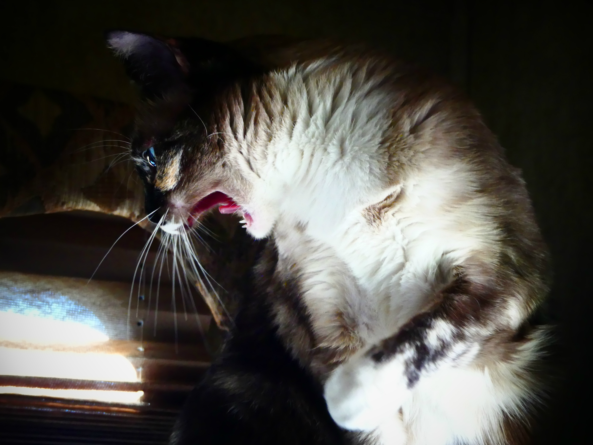
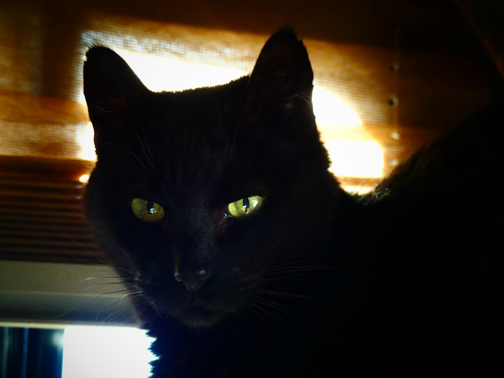
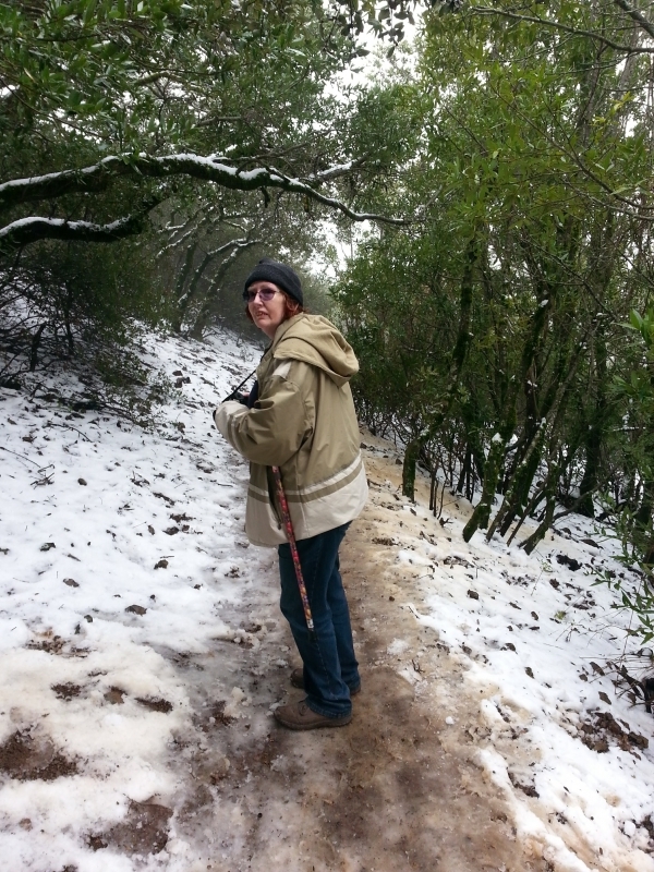
I’ll post more but right now it’s time for the stars of the show. In light of the fact that this last week highlighted International Women’s Day and A Day Without a Woman, Miss Jenny gets to lead off the show.

OMG! WHAT IN HECK ARE YOU DOING!
Tito: Me? I’m just watching the neighbors
Titanescu: I do nothing. I see nothing
Pepi: What? I didn’t do anything! I swear!

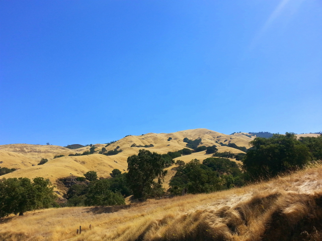
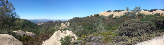
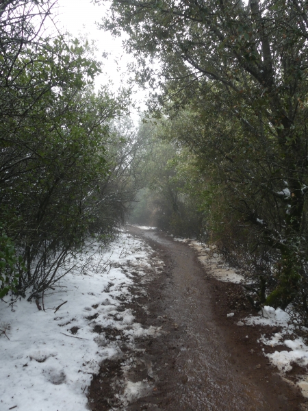
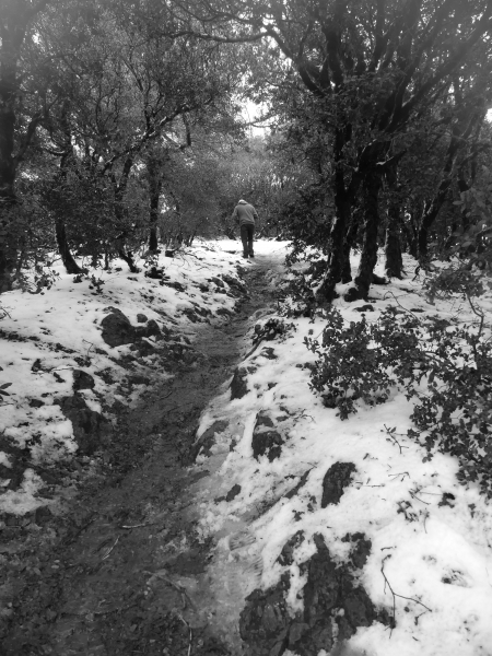
Back to the snow day. We lit out before noon. It was a beautiful day. We were careful to dress for the cold though as we knew it would be cold and wet at the top.

At the foot of the mountain, the hills are bright green
The birds were out having snackies

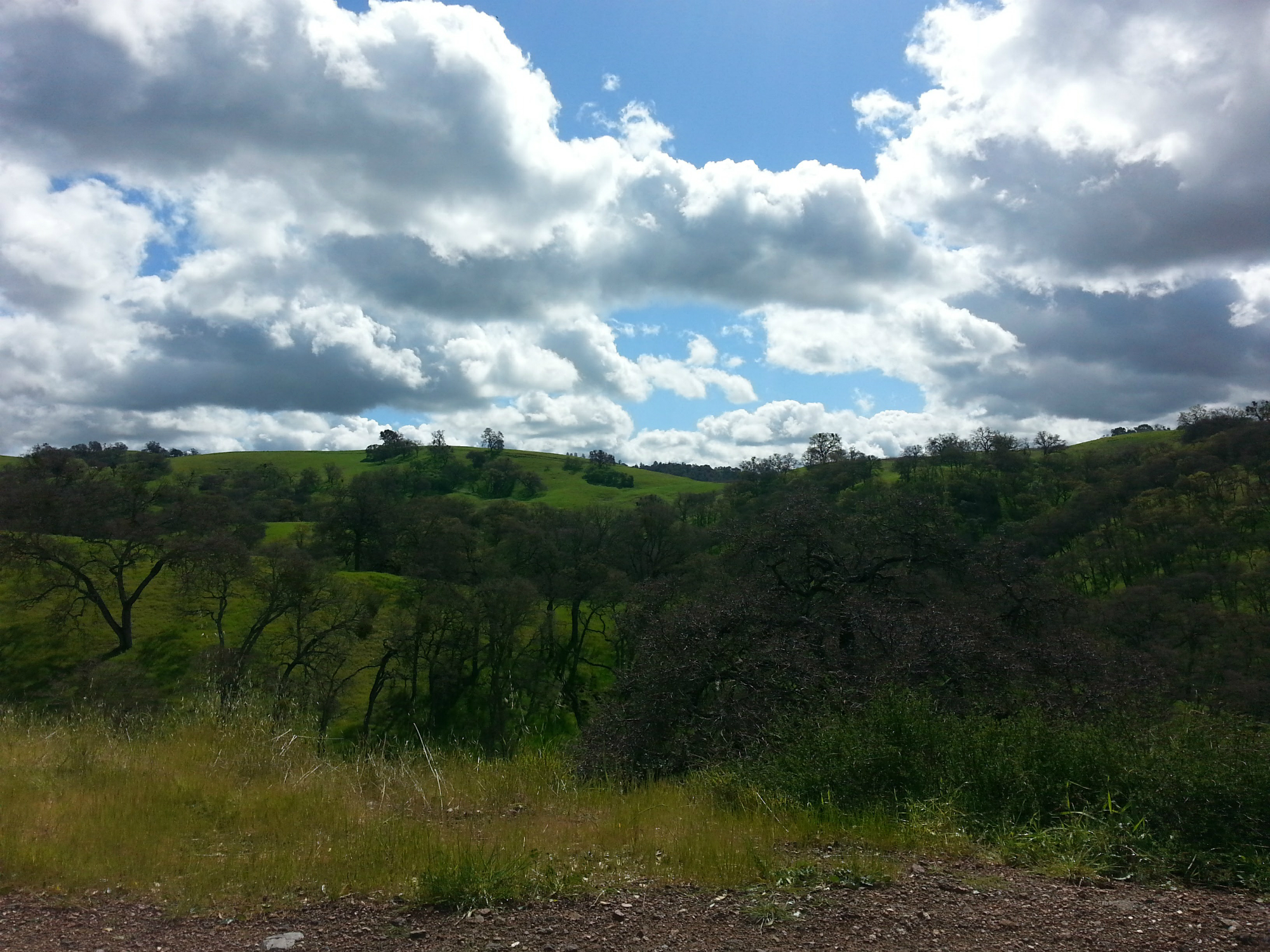
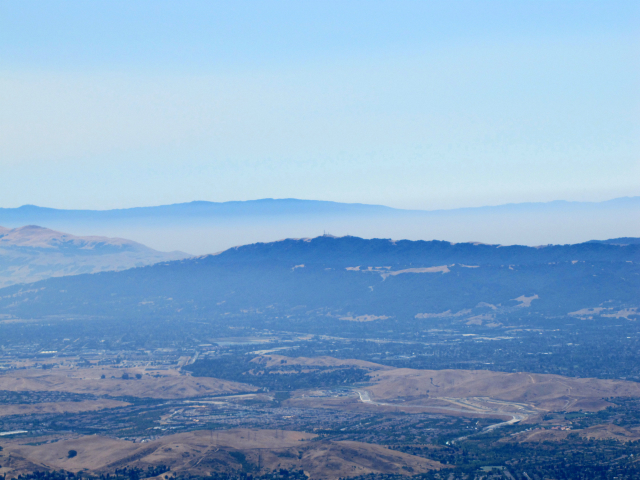
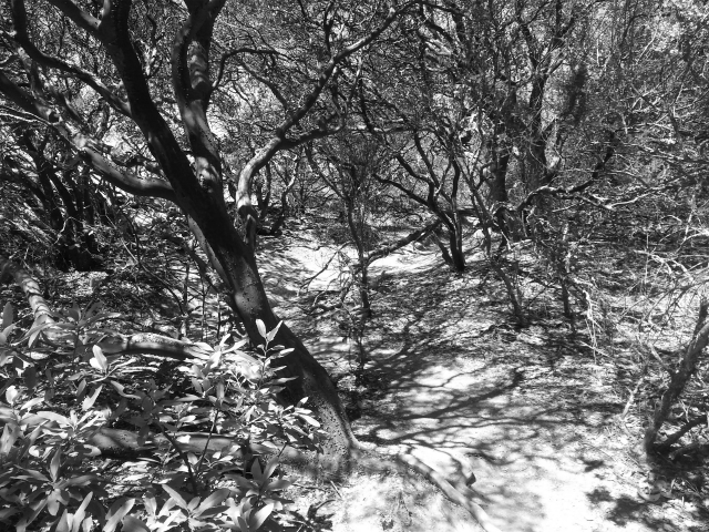
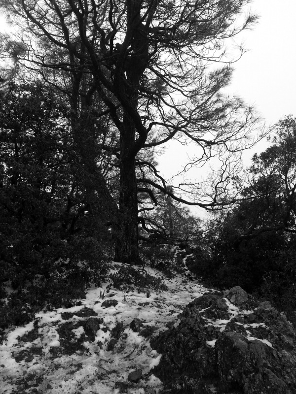
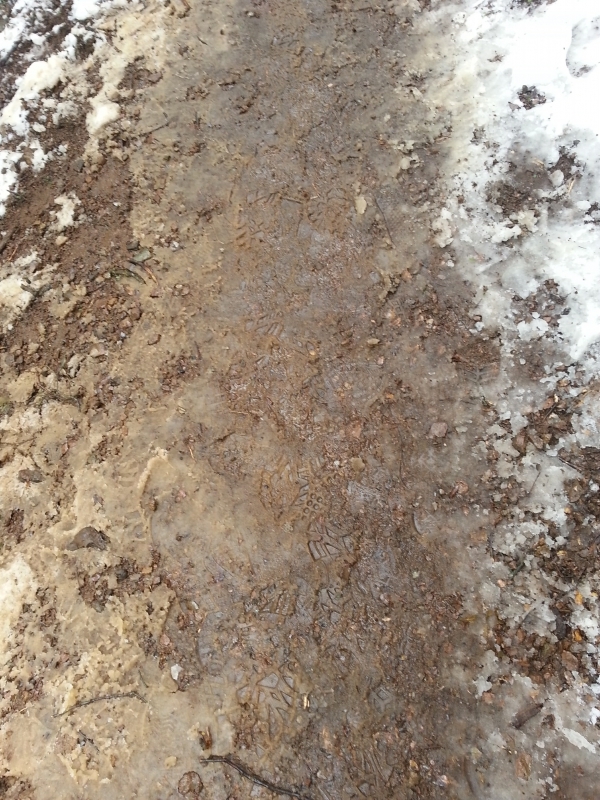
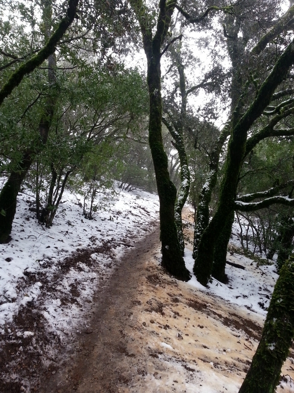
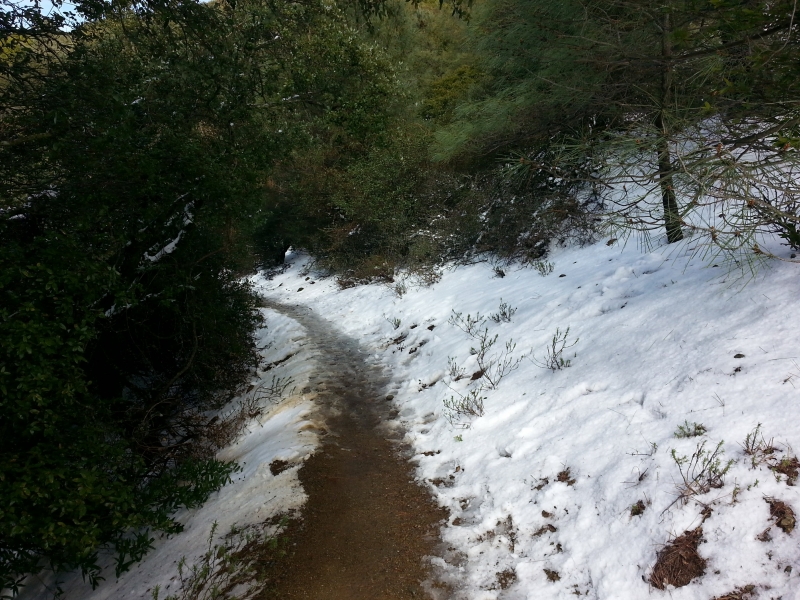
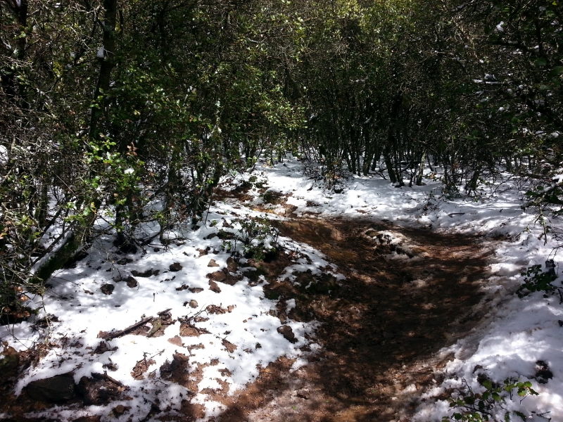
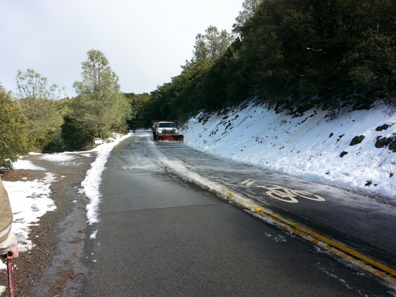
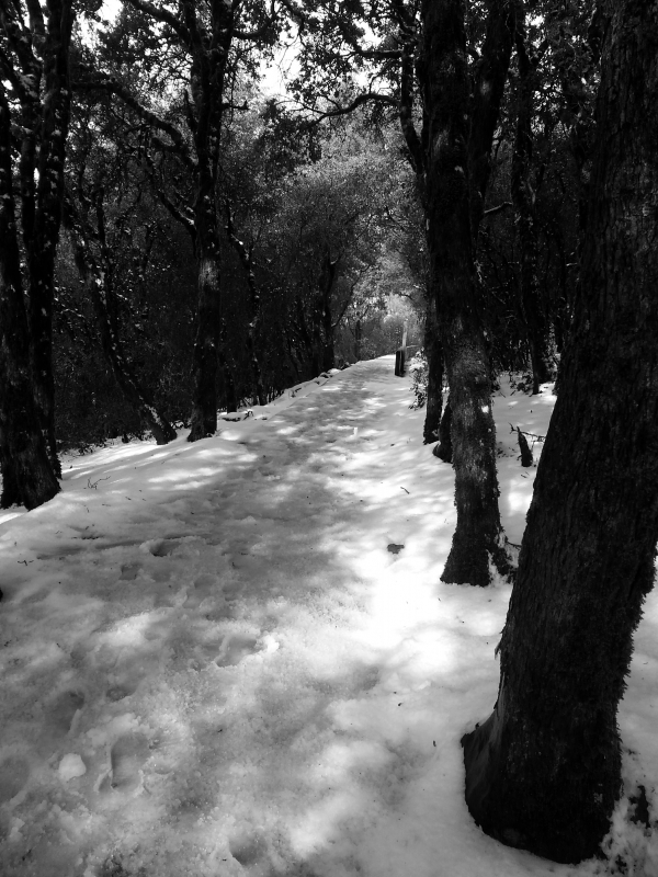
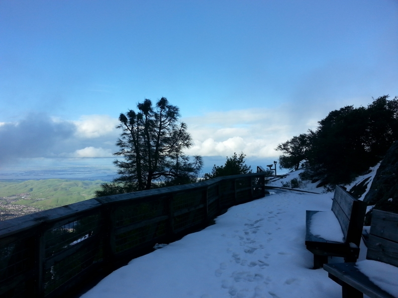
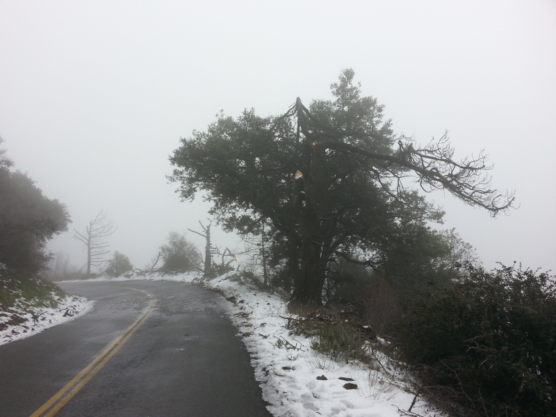
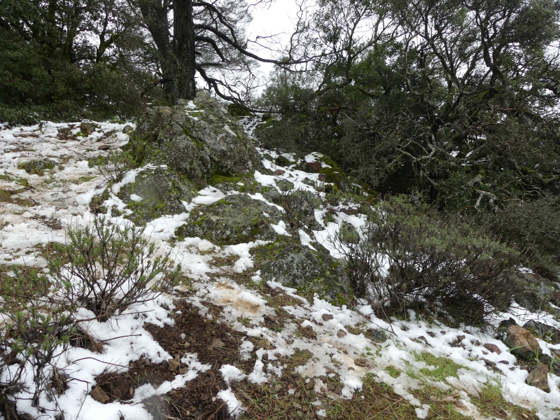
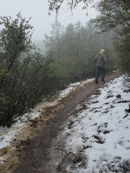
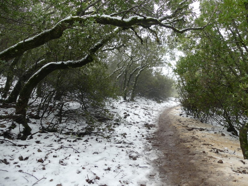
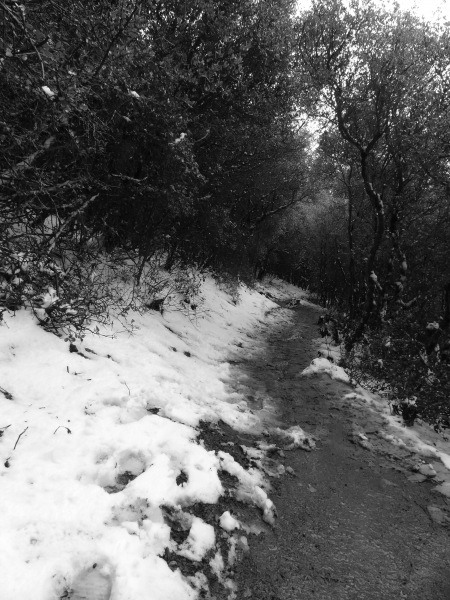
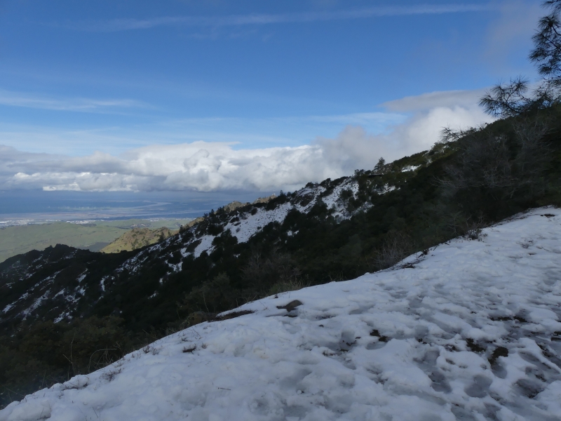
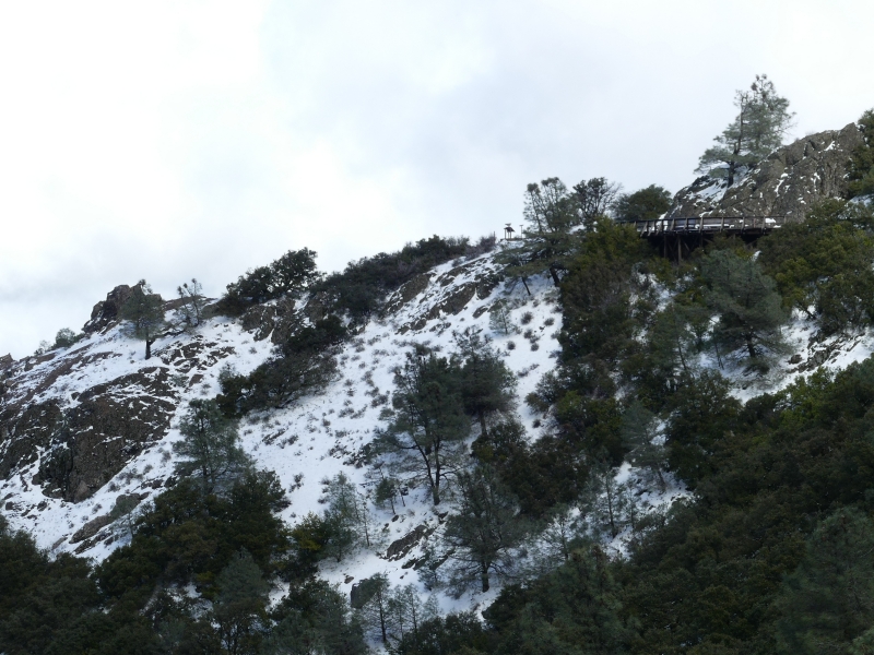
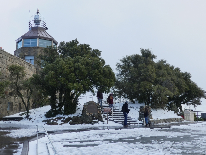
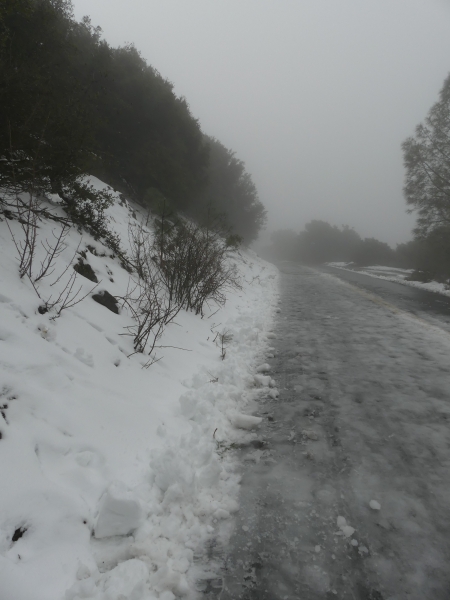
The road to the top was closed to cars at the Diablo Valley view point, so we parked and hiked from there. We decided to take the hiking trail up instead of the road. Lots of people were there along with their kids. We decided that some people are just stupid. I mean really stupid. The temps were nice at the base of the mountain. However, it was cold and wet at the top. Idiots were wearing shorts and sandals. Oh well.

As we climbed, we could see sparse bits of snow
The higher we got, the more snow there was. We were also in the clouds, so visibility was low
We finally made it to the top. It was a bit under two miles and a climb of about 950 feet.
This is a view from the top

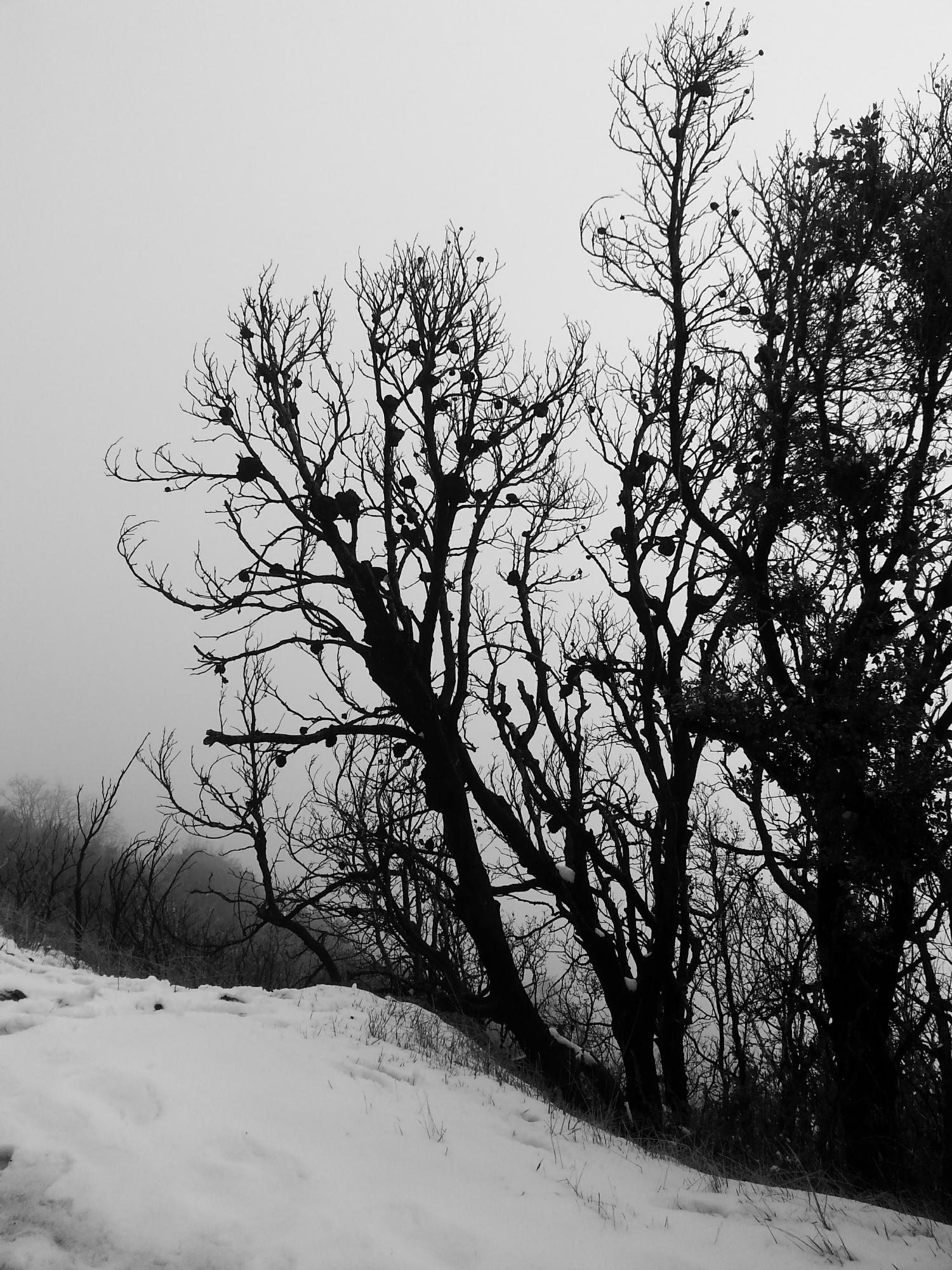
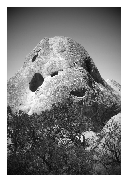
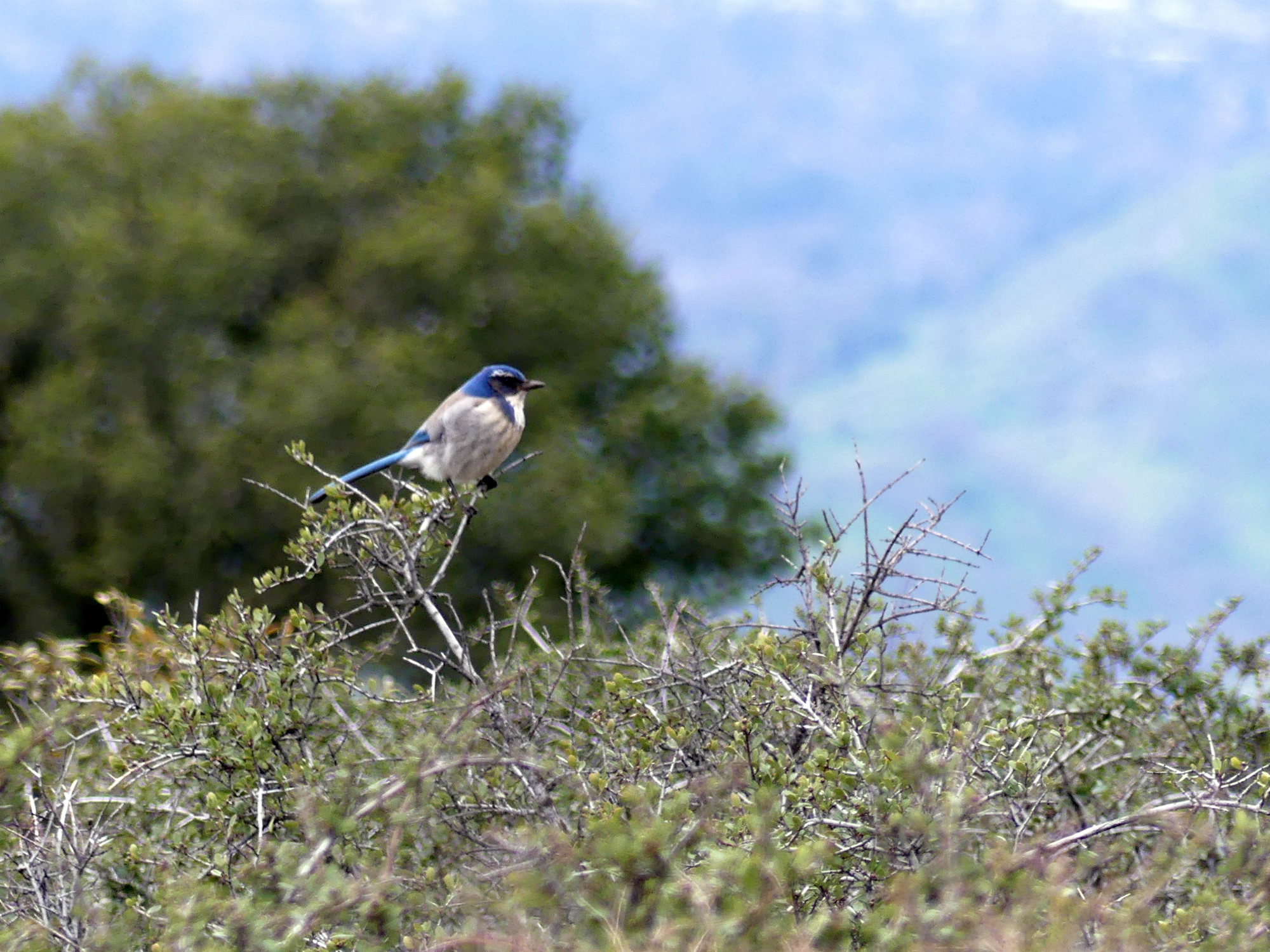
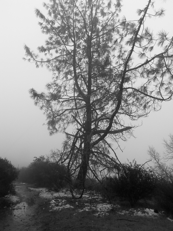
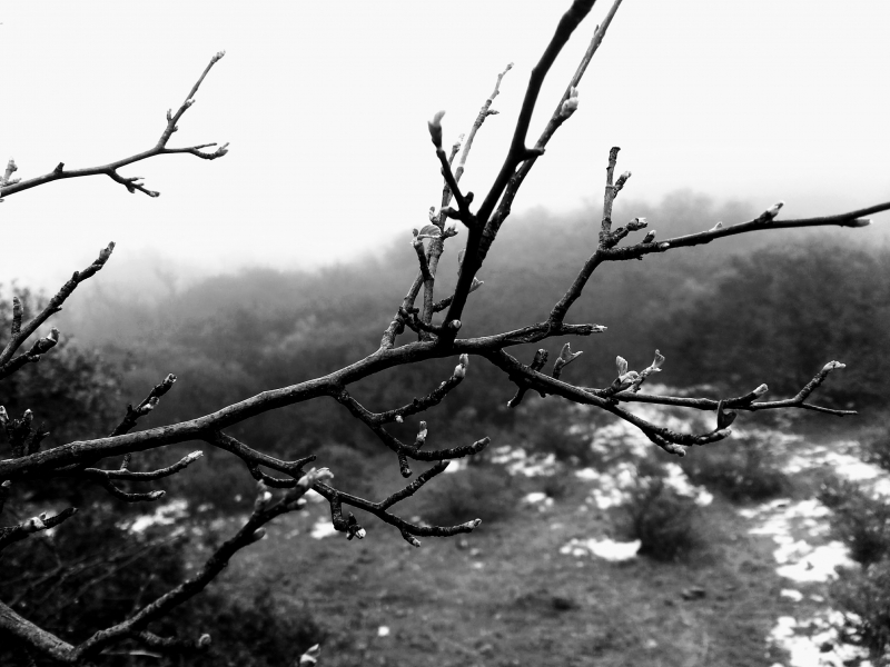
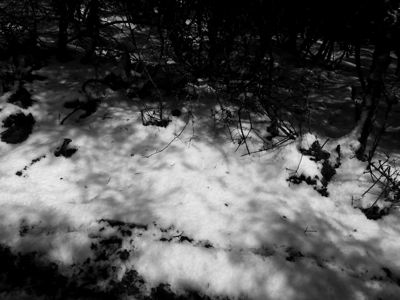
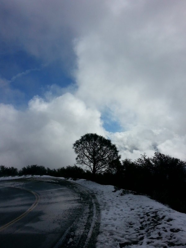
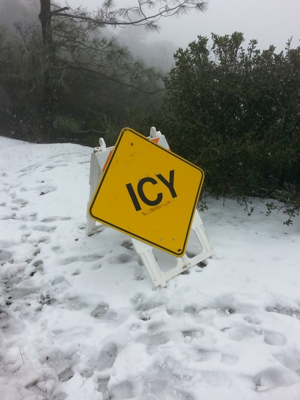
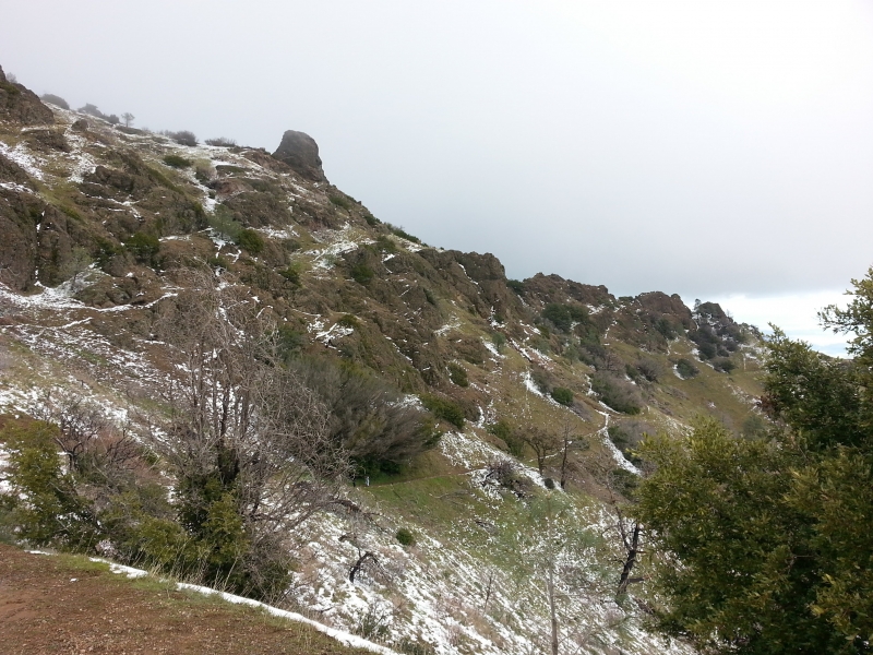
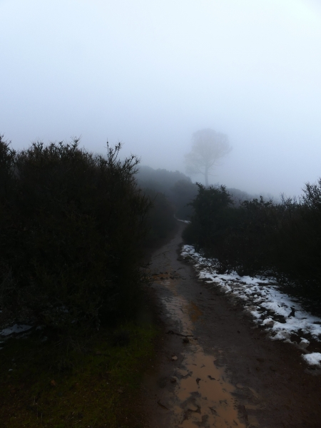
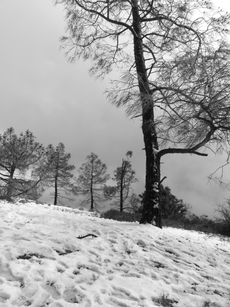
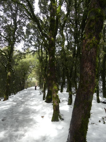
Out of view on the left side of that last photo, there was a microwave tower. It was mostly hidden in the clouds, but there was no doubt about where it was. Chunks of ice could be heard falling though the structure with very loud crashing noises. After taking the trail up, we decided to hike back down via the road. The upper part of the trail was very steep and icy and while we managed it without a fall, we didn’t feel that going down that way would be as lucky. All in all, it was a 4 mile round trip and I’m so glad we got to do it. I’ve included the rest of the pics in a slide show.


Increase your website traffic with Attracta.com

Share

Caturday: Rock City, Ceiling Cat’s litterbox?

Rudha-an here. Caturday was delayed. Blame Titanescu. I was attempting to update WordPress, but he insisted on walking on the laptop as usual. Today, he’s leaving me alone, but that will change in a couple of hours. 🙂

For now, here are the pointy eared people and the droopy eared one.

Tito was keeping me company
Miss Jenny was bird watching
Titanescu was being a poophead and standing on my mouse pad. The battle is real.
Pepi enjoying the porch. We made her day and got her a new farting hedgehog toy. It's her third one.
Pepi enjoying the porch. We made her day and got her a new farting hedgehog toy. It’s her third one.

This last week, we escaped and went adventuring. Lastech will tell you about that, but I’m going to do a bit of an intro. As I’ve mentioned before, California is on fire, making the air quality unpleasant, to say the least. Here are two pics I took during out outing that show the problem.

Looking to the North, you can see the smoke layer from the Clayton fire in Lake County. This same area had horrible fires last year. This one was arson.
Looking to the South, you can see the smoke from the Soberanes fire in Monterey County.

Lucky for us, our outing took us above the smoke so it was nice out. The critters all stayed home in the air conditioning. Pepi didn’t get to go this time as doggies aren’t permitted on the trails. She had a good run at the park before we went though, so she wasn’t deprived.

Rock City is a group of sandstone caves carved by the winds. It’s located on the SSW side of Mt. Diablo.

And now for adventure…in Lastech’s words.

As familiarity breeds contempt, proximity to “civilization” brings its blemishes. In the case of Rock City, this means carvings in the sandstone, some mundane, some obscene. There’s spray painting as well, although, in fairness, this becomes scarce the further along the trails you go. Driving up from the North Gate, you come to a fork in the road, about 3000 feet up, and turn right at the Ranger station. A short drive later, you pull off the road into one of the lots and choose your trail, easy-peasy.

On the way from the North Gate entrance.

Even though you know it is there, sandstone holds some fascination in sight and touch. In sunlight, much of it looks like granite, gray with some black specks (soot from older fires?), but on the ground, the color is tan, and in places, the stone looks ‘pleated’, like windswept sand dunes. You cannot help but touch it to feel its texture, and it appears slightly porous, though firm. And in the heat of an afternoon, it is hard to imagine it could ever be cold to the touch.

Rock City
Rock City
Sandstone caves of Rock City

Sound travels differently as you walk around the stone formations: there are no echoes, voices sound slightly muffled. It is a quiet place, where you mostly hear birds, and we did see and hear a few woodpeckers.

Manzanita
Manzanita

As sunlight reflects off the lip of a hole in the stone, it paints the inside of the gaping maw in goldish-tan hues,as you can see on some of our photos.
Walking further up the trail, we came to a couple spots where I could take panoramic shots of the area, all the way to the horizon, and lo! carved into the ground was the symbol, universal: a spiral, or maelstrom.

Panorama looking to the West
Wind caves
Wind caves

Could this be where Ceiling Cat comes to bury His turds..?

Here is a slide show of the rest of the pics

Rudha-an here again. I normally avoid politics on the blog unless it pertains to equality (for women and my LGBTQ brothers and sisters). This time, I couldn’t resist. First, I found this…

At only a couple of inches across, I immediately wondered if I had found the birthplace of Trump's hair.
At only a couple of inches across, I immediately wondered if I had found the birthplace of Trump’s hair.

Then Lastech found this. 🙂

Increase your website traffic with Attracta.com

Share

Mount Diablo: rock of Doom

They say Mount Diablo got its name from a WTF moment in local lore, dating back from the early 19th century. In 1805, a small contingent of Spanish troops encircled a group of Native Americans, who managed to disappear without a trace using their evidently superior knowledge of the land. It’s only natural that the people who brought us the Inquisition decided the Devil was at play, and so they named the place Monte del Diablo, which some translate as Thicket of the Devil. Later, monte was mistakenly translated as mount and thus the mountain gained its current name.

As the crow flies, we now live about five miles or so from Mount Diablo, which makes it a semi-regular destination for us. On weekdays, when most folks are at work, the drive to the top is fairly relaxed and fun. I say fairly relaxed because you still have to pay close attention to other traffic, bicyclists in particular, especially near blind curves. As well, along some stretches, the road drops off abruptly, which causes fearful drivers to wander across the median dangerously.

The fun comes from spotting wildlife and the play of light on distant hills, which offers quite a spectacle on overcast and stormy days. On the drive to the top, there are many spots where to pull over and take in the sights, some with tables, benches and grills, even. From there, it is easy to see how much concealment the terrain offers wildlife or the unfortunate injured hiker at times. As close to “civilization” as Mount Diablo is, and as unimposing its elevation may appear at 3849 feet, the park’s 20.000 acres is deceptively smooth and tranquil. But just as Mount Tamalpais and its potentially treacherous Cascade Falls trail has risks, so does Diablo. And this is due in large part to both traffic and complacency.

Some of the photos in this blog post were taken as a storm system was moving through the area, giving you a sense of the textures the park offers and why it has become one of our favorites. It never fails to remind me of “Picnic at Hanging Rock”…


Increase your website traffic with Attracta.com

Share